Day 1 — Arriving in Yosemite Valley
- Arrive in Yosemite by 3 pm.
- Drive to Tunnel View and enjoy the view. Additional parking is available in the lot across the street. Most people only stop briefly, so a spot usually opens up.
- If time permits, try the Artist Point hike from this trailhead.
- Option 2: walk the short trail to Lower Yosemite falls if you are arriving in spring or early summer. By August the falls have all but dried up, which makes the walk not worth it.
- Head to dinner at Curry Village, enjoying views of Yosemite Valley, El Capitan and the Merced River along the way.
- If time permits, take a short walk in El Capitan Meadow by parking along the side of the road near the boardwalk.
- Try the Pizza Deck at Curry Village. Be prepared for a wait of 30 minutes or longer.
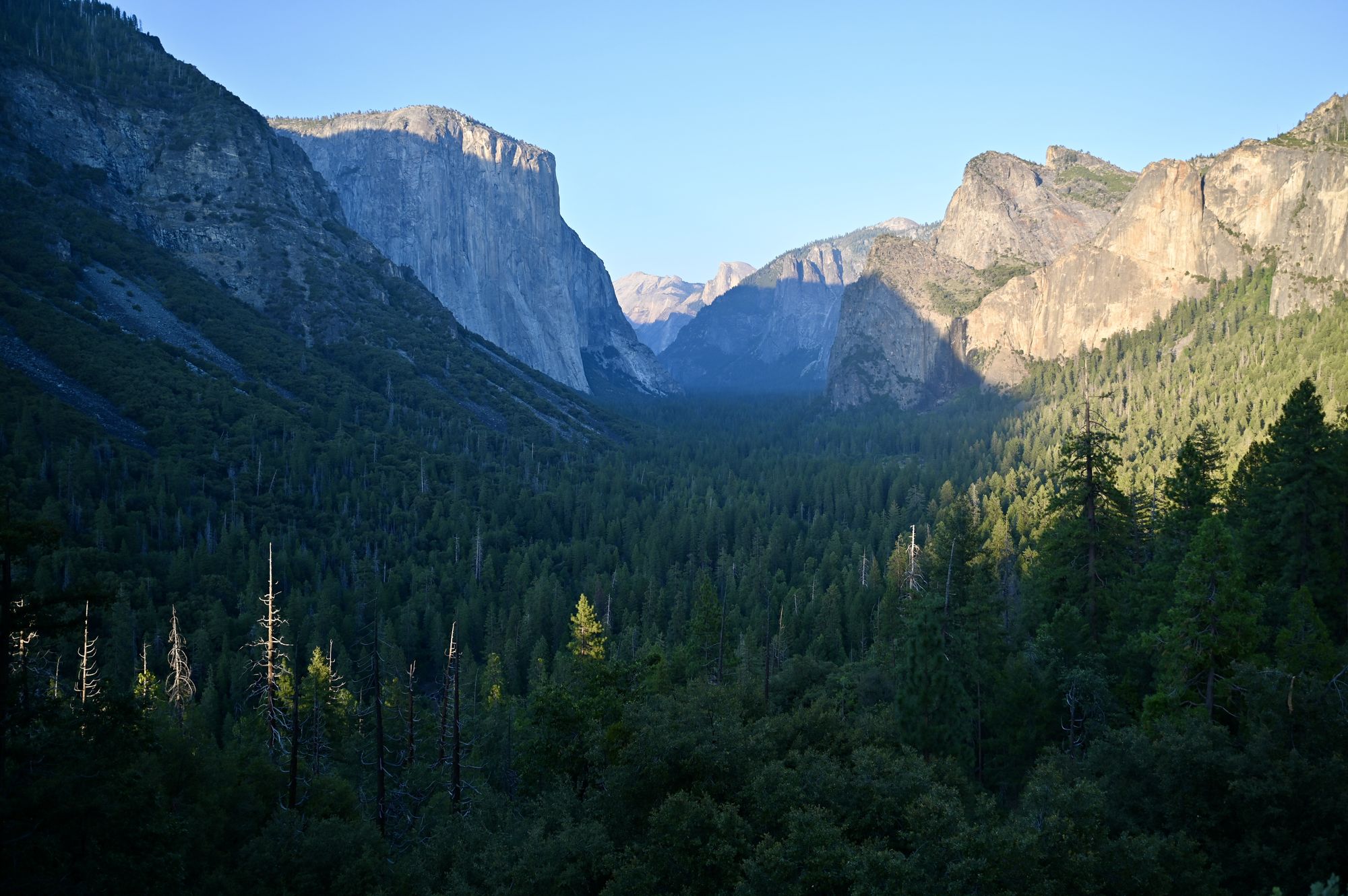
The view from Tunnel View.
Day 2 — Sentinel Dome, Taft Point and Glacier Point
- Arrive in the park early, preferably by 7:30 am.
- Drive to the Sentinel Dome and Taft Point trailhead on Glacier Point Road. The drive takes about an hour.
- Hike Sentinel Dome. The trail is about 2 miles with about 800 ft of elevation gain. It offers only a little shade, so do it first, early in the day. Once you are on the granite part of the dome, El Capitan can be seen in the valley below. Climbing to the summit is optional, as the views are nice from the base of the dome.
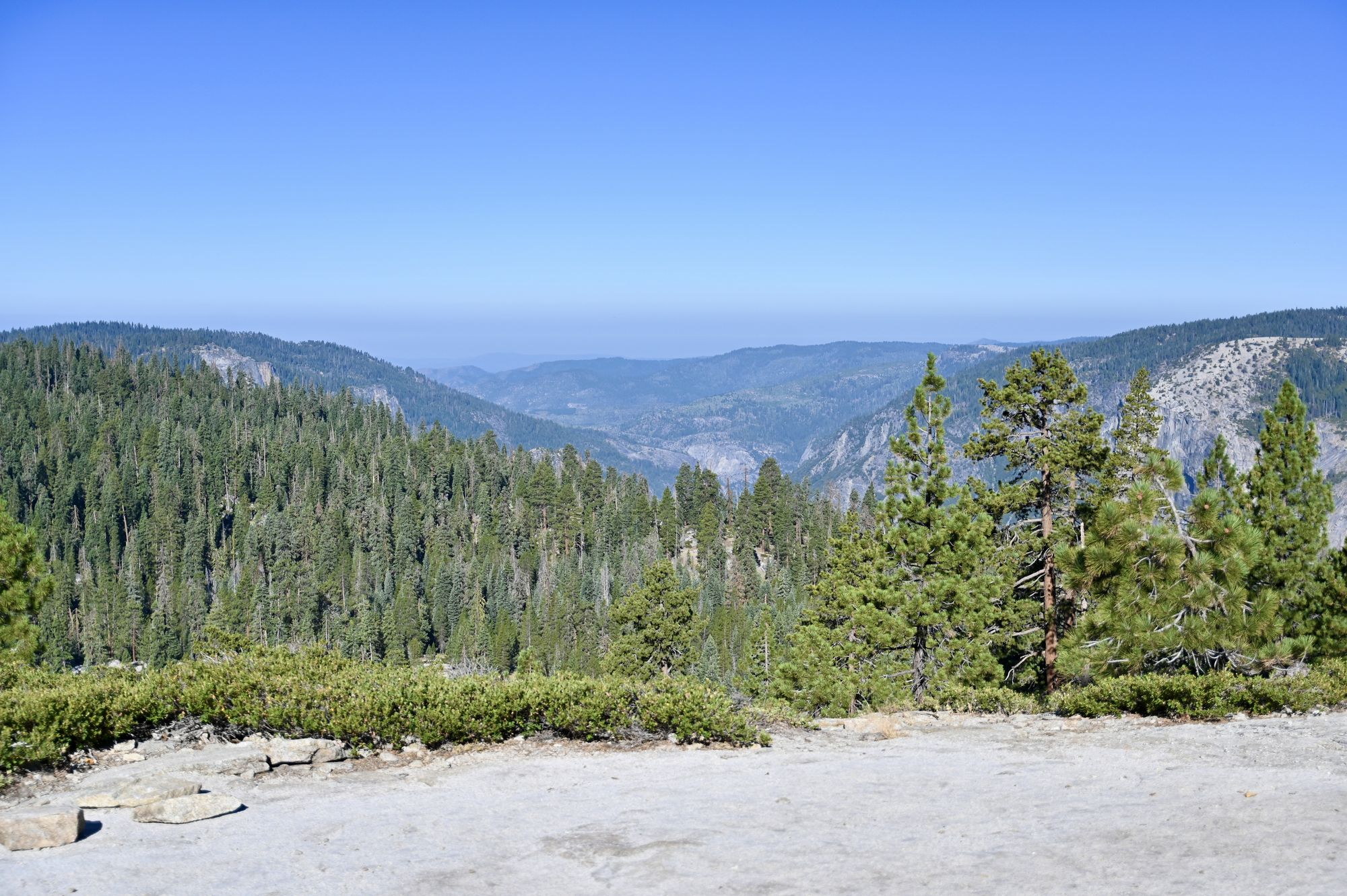
The hike to Sentinel Dome.
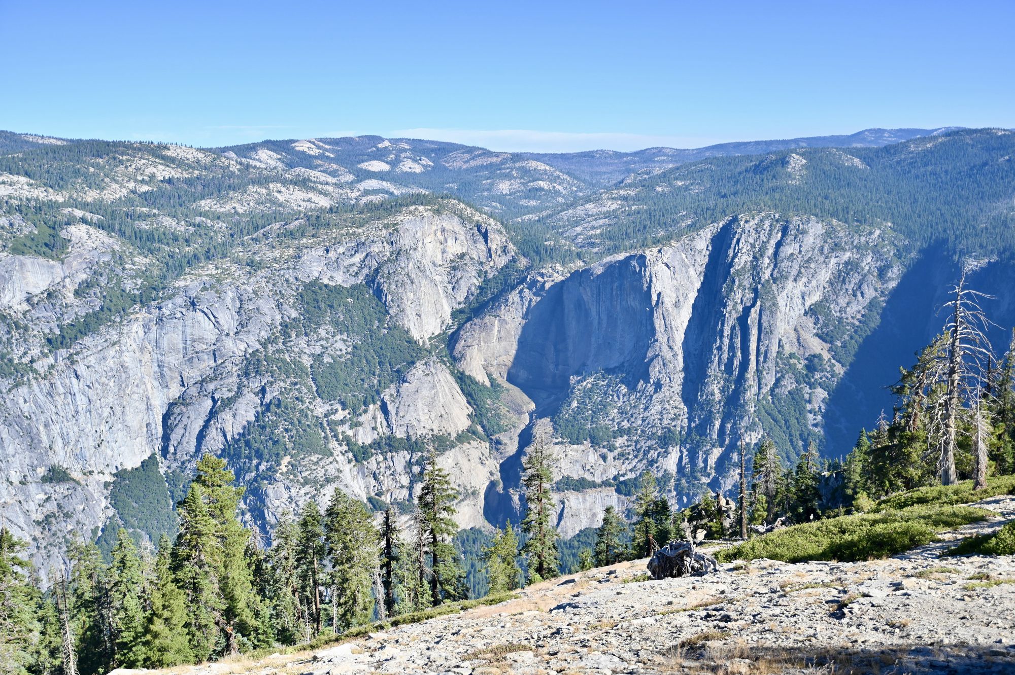
The view from the base of Sentinel Dome.
- From the same trailhead, hike the Taft Point trail. It is shaded until the final descent to the viewpoint. Most of the elevation gain is on the way back, as the trail goes downhill to Taft Point. The views are stunning in all directions. Walk up to the huge rock and look down the sheer drop for a beautiful view of Yosemite Valley.
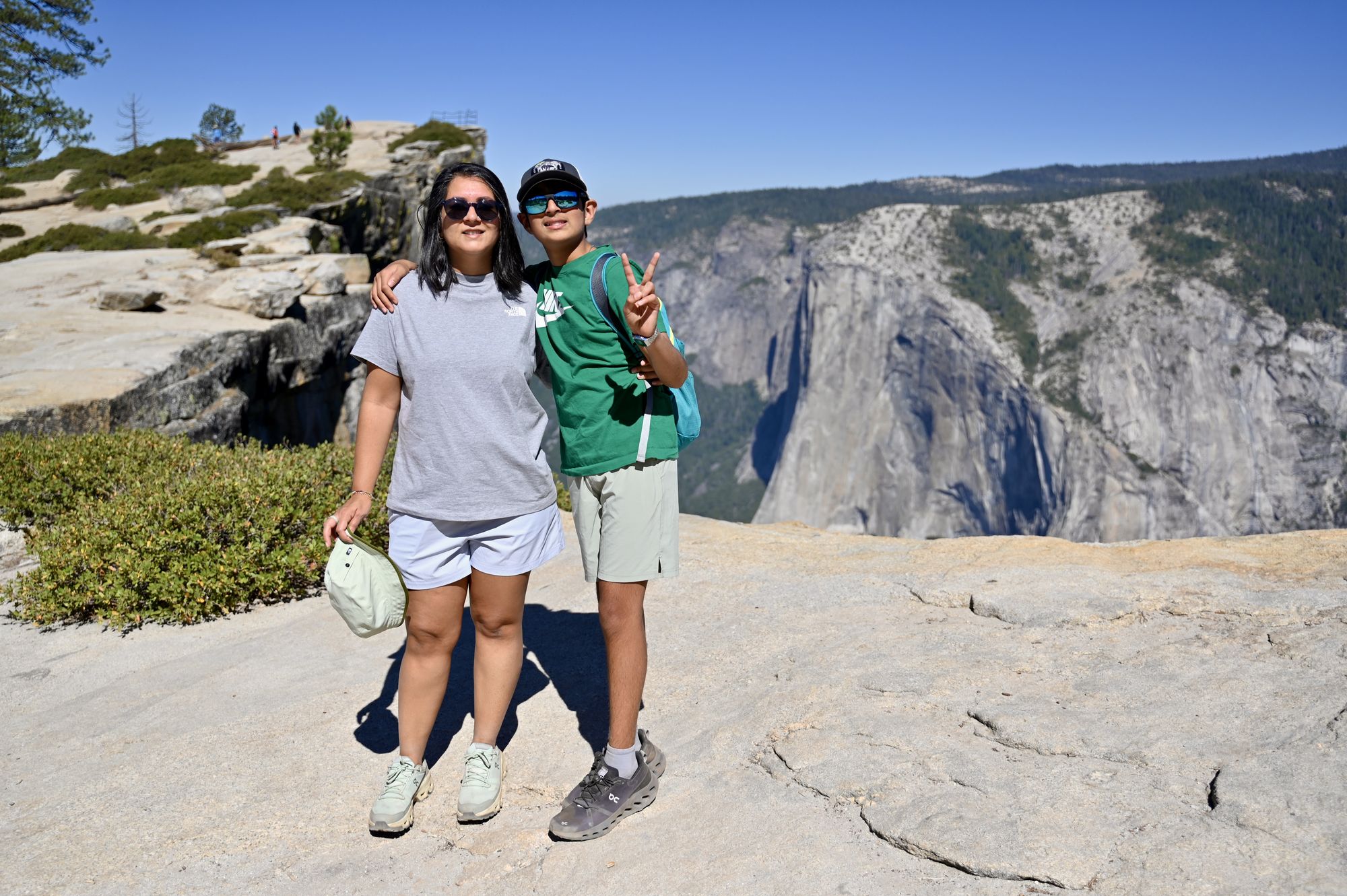
At Taft Point.
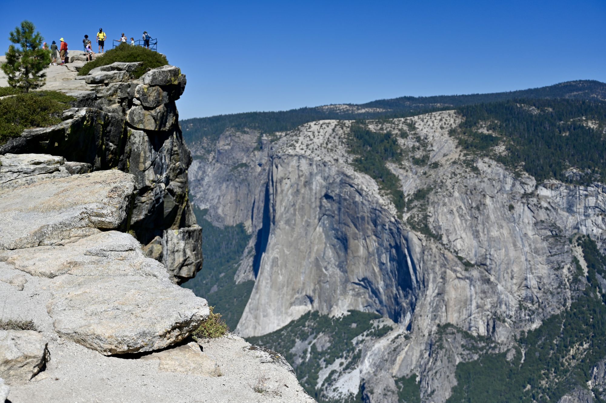
Just under Taft Point with El Capitan in the valley below.
- Tip: Carry snacks and plenty of water so you can take breaks along the way — a snack with a view of Yosemite Valley is a special treat. Arrive before 9 am to park in the actual lot; late arrivals end up parking on the side of the road.
- Drive 4 minutes down the road to Washburn Point. This viewpoint has a spectacular view of Yosemite Valley, Half Dome and both waterfalls on the Mist Trail — Vernal falls and Nevada falls. On the other side of the viewpoint you can see meadows and towering peaks.
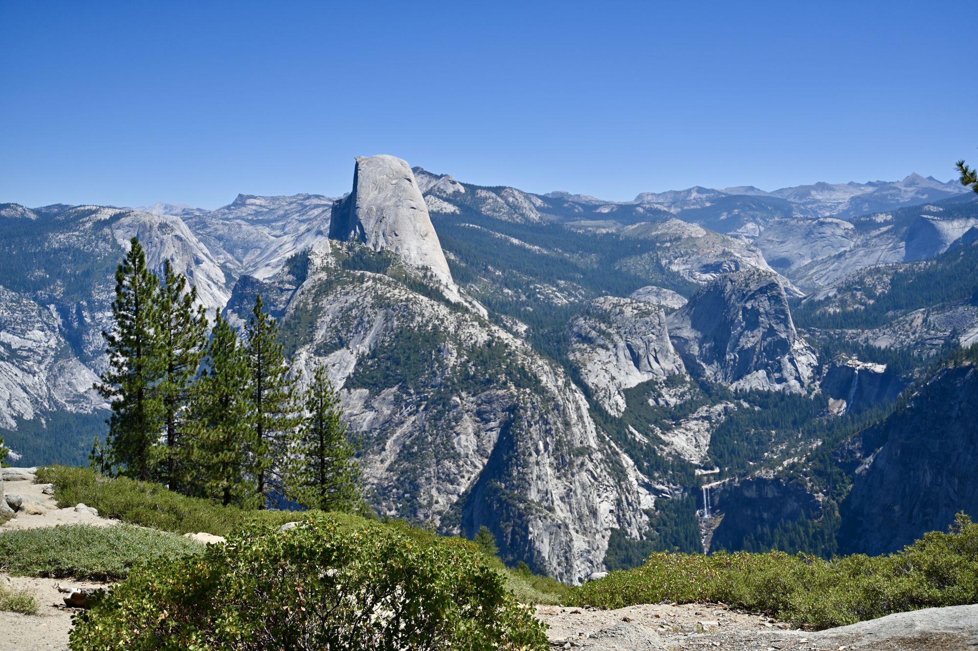
The view from Washburn Point looking at Vernal falls, Nevada falls and Half Dome.
- Tip: This viewpoint was busy, and people take a long time getting their photos. Make a deal with your kids to take 4–6 photos and then let them relax while you enjoy the views — especially if, like ours, they get tired of posing.
- Drive another 4 minutes down the road to the Glacier Point parking area. The lot is large, with spaces on two levels, but it tends to be full by 10 am. The crowd keeps moving, so waiting a few minutes usually gets you a spot. There are restrooms, snacks, ice cream and cold meals here. Walk around the viewpoints in front of the gift shop, and over to the Geology Hut — a historic structure that adds interest to photos and offers some shade. A short trail leads to Glacier Point itself. We were already tired from the hikes and the heat, so we headed back to the car from the Geology Hut.
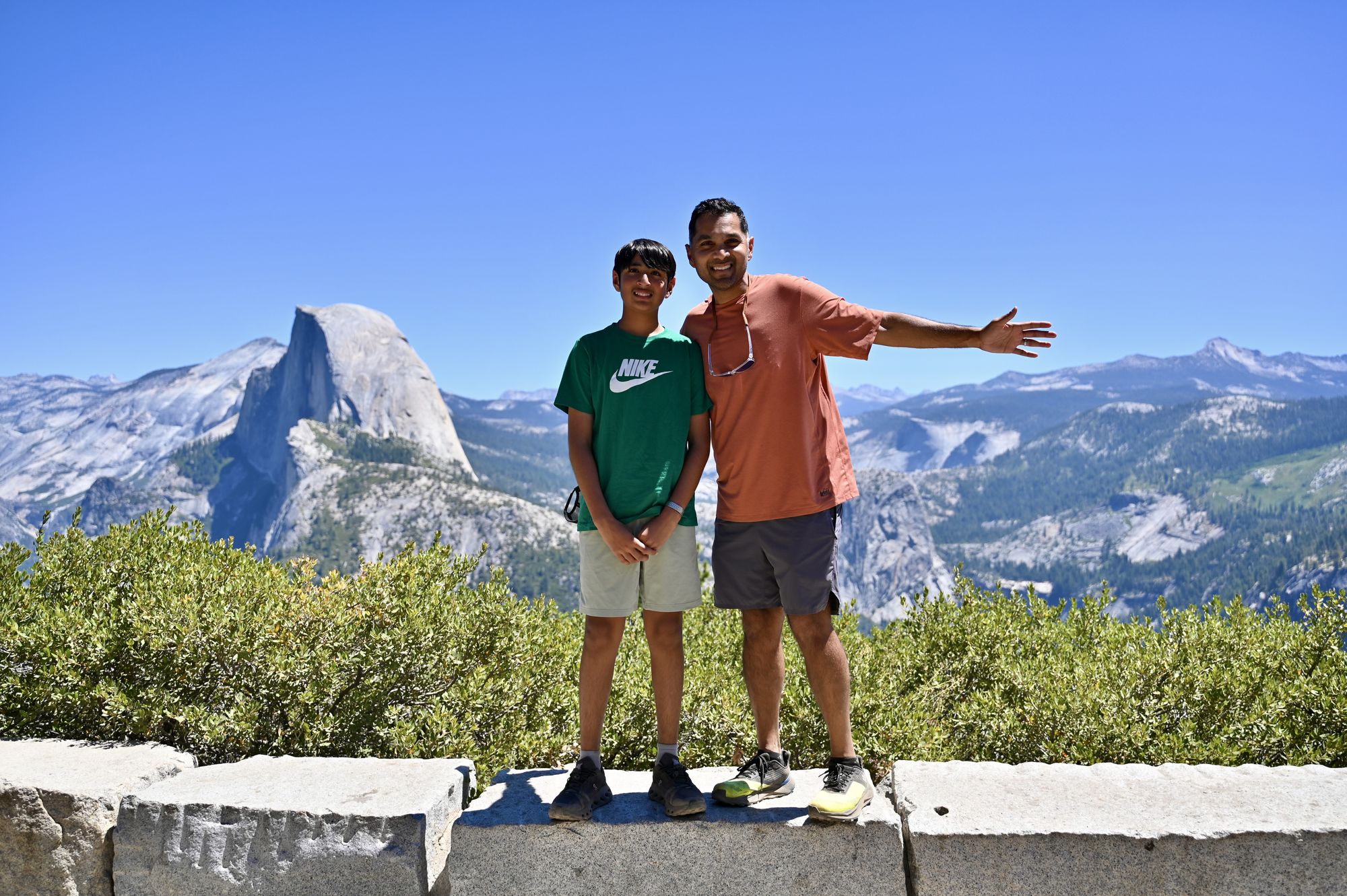
The view from Glacier Point.
- Tip: Enjoy an ice cream in the shade here. Look for bears in the woods near the parking lot — when it is hot in the valley, bears can be found up here.
- Drive to the Bridalveil falls trailhead. This paved trail is about 0.4 miles with some shade along the way. At the peak of summer, though, the waterfall is a thin stream at best. If you are visiting after mid-July, you can skip this trail, as the falls is visible on the drive towards Curry Village.
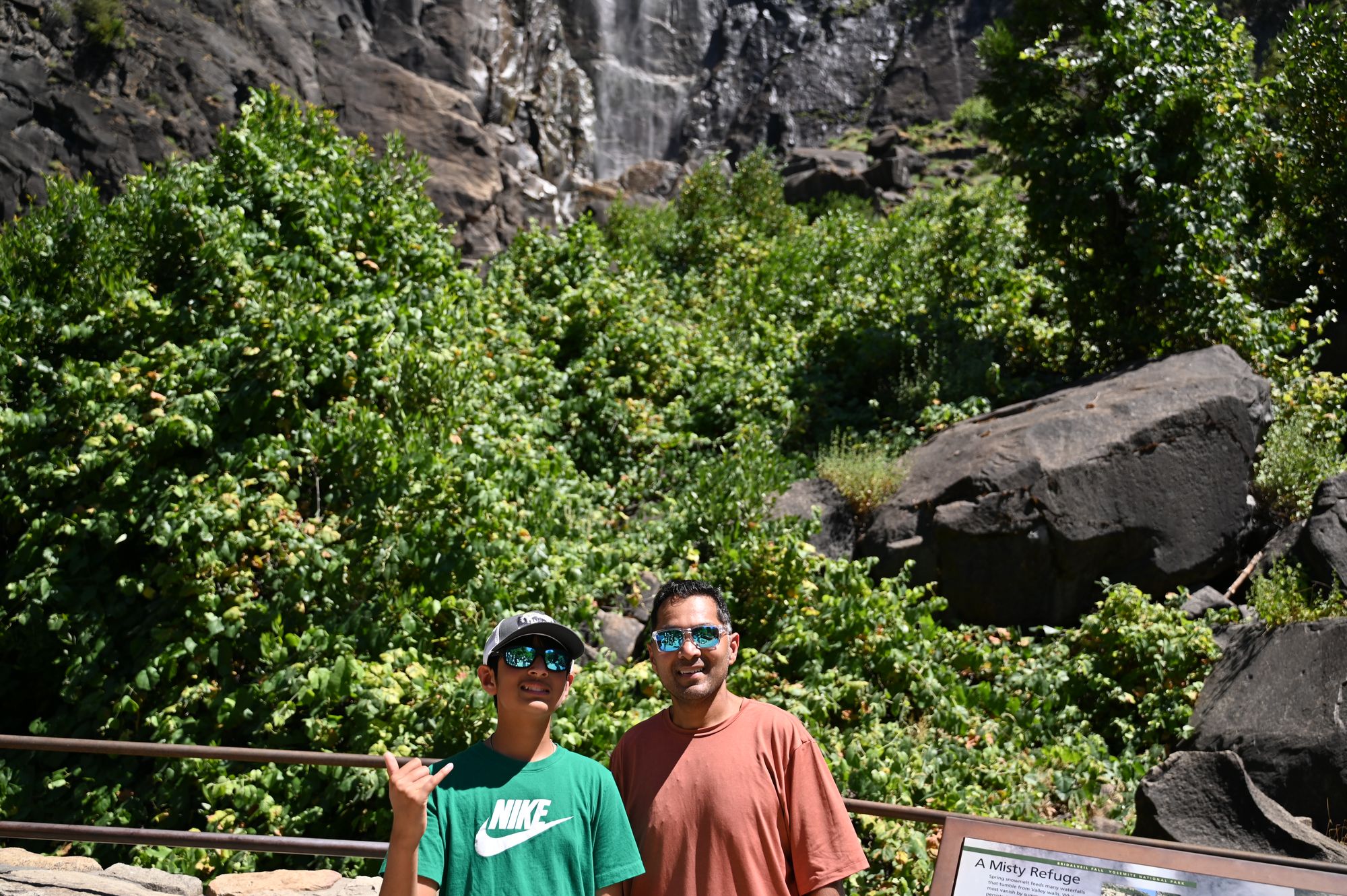
The viewpoint for Bridalveil falls.
- Tip: Water filling stations are available at many trailheads and villages in the park. Refill bottles whenever you can, especially in summer, and keep reserve bottles in the car. We went through a lot more water than we expected.
- Drive to El Capitan Meadow and park on the side of the road. The meadow has a few paths with views of El Capitan, although the enormous monolith is visible along the whole valley drive.
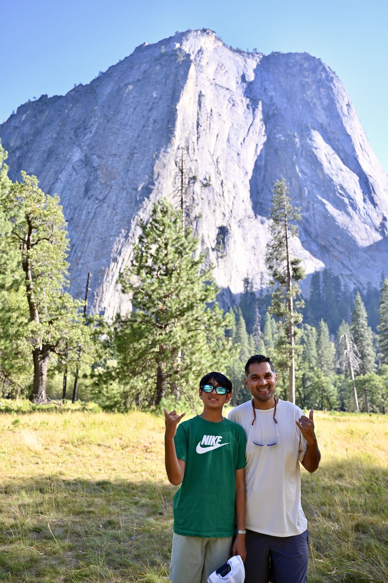
El Capitan Meadow with towering granite cliffs on both sides.
- For the hot late afternoon, either:
- go back to your hotel for some much-needed rest, or
- explore the indoor museums in Yosemite Valley village, such as the Yosemite Museum and the Exploration Museum.
- Stop by the general store or the Village Grill for a snack or ice cream.
- Grab dinner in the village, or at Parkside Pizza in the Yosemite View Lodge near El Portal.
Day 3 — Mist Trail and Tioga Road
- Arrive in the park early, preferably by 7:30 am.
- Drive to the Mist Trail trailhead. Trailhead parking is just outside Curry Village, about half a mile from the trailhead. You can also park in the village and take the shuttle bus to the trailhead.
- Hike the Mist Trail. Vernal falls is the first waterfall on this trail. Check the trail status before you start — it can close for repairs, as it did on weekdays in summer 2026. Walking only as far as the footbridge is a good option if steep hikes are challenging.
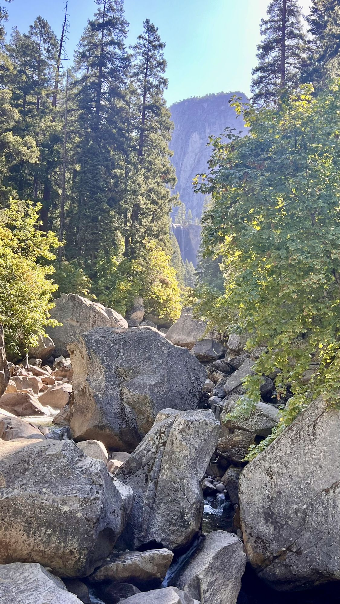
Vernal falls from the footbridge.
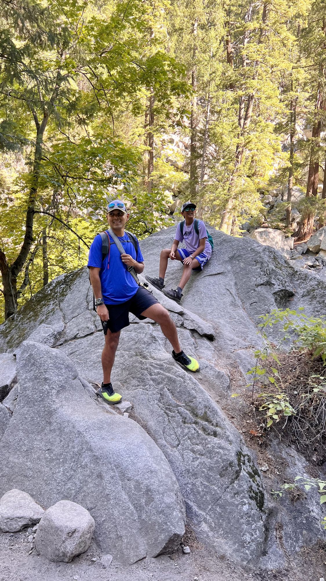
On the Mist Trail.
- Tip: There are water refill stations and restrooms at the footbridge, and it is a great shaded spot for a snack break. Bring plenty of water on this trail — the steep climb in hot weather is dehydrating.
- Optional: Mirror Lake is right next to the Mist Trail and would be a great addition in this part of the park. We had read reports of heavy mosquito activity and it was already midday, so we skipped it.
- Stop at Cook’s Meadow, which is on the one-way drive to the village. Park along the side of the road and walk the boardwalk to enjoy the valley’s plants and wildlife.
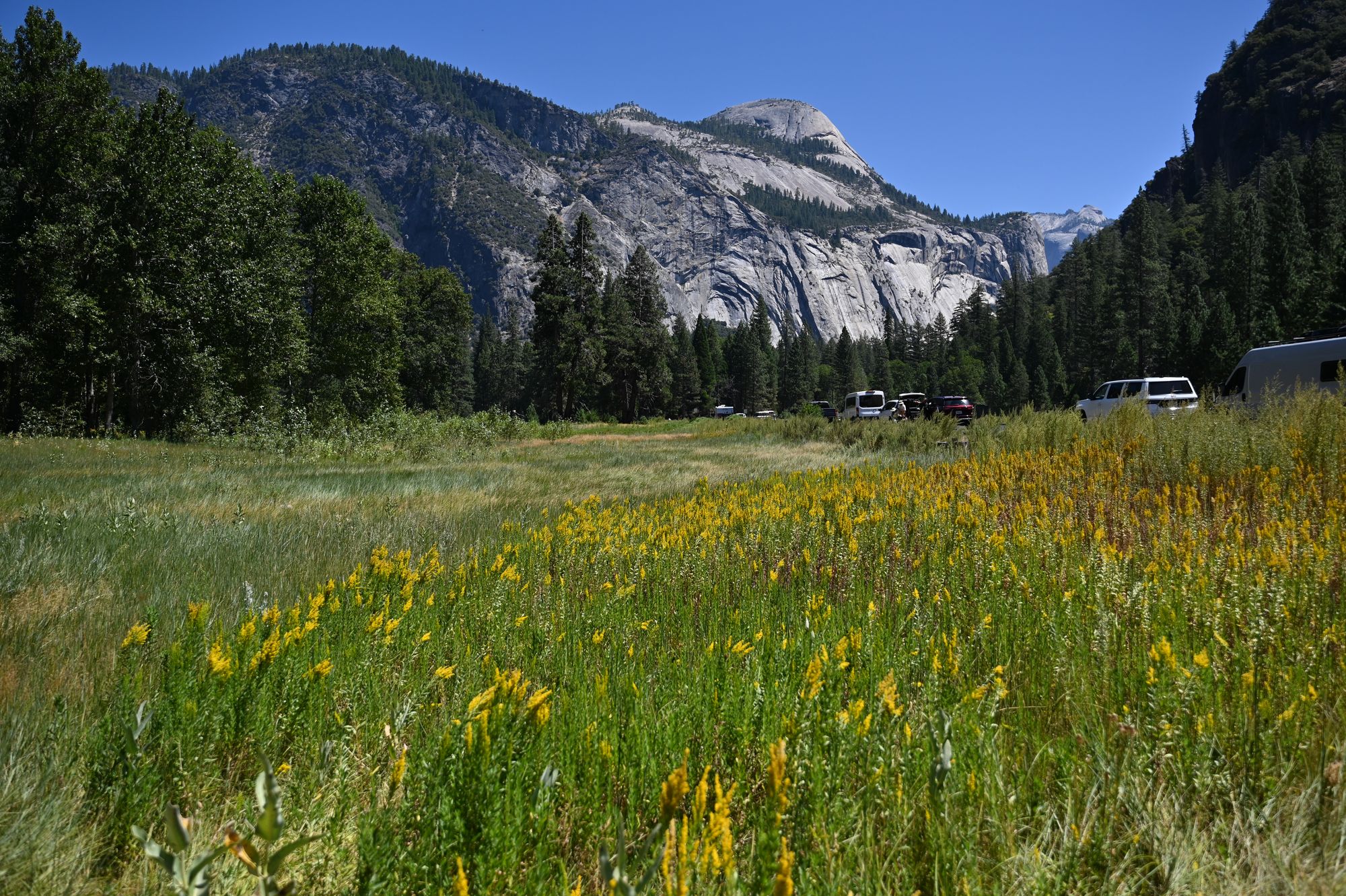
Cook’s Meadow, with roadside parking.
- For lunch, try Degnan’s Kitchen in Yosemite Village for sandwiches and soup.
- Optional: Spend the afternoon at the Ansel Adams Gallery, or catch a park film at the village Indian movie theater.
- Drive to the Yosemite high country, about 1.2 hours from the valley.
- Drive Tioga Road, enjoying the views all along the way. Expect the elevation to climb and the temperature to drop.
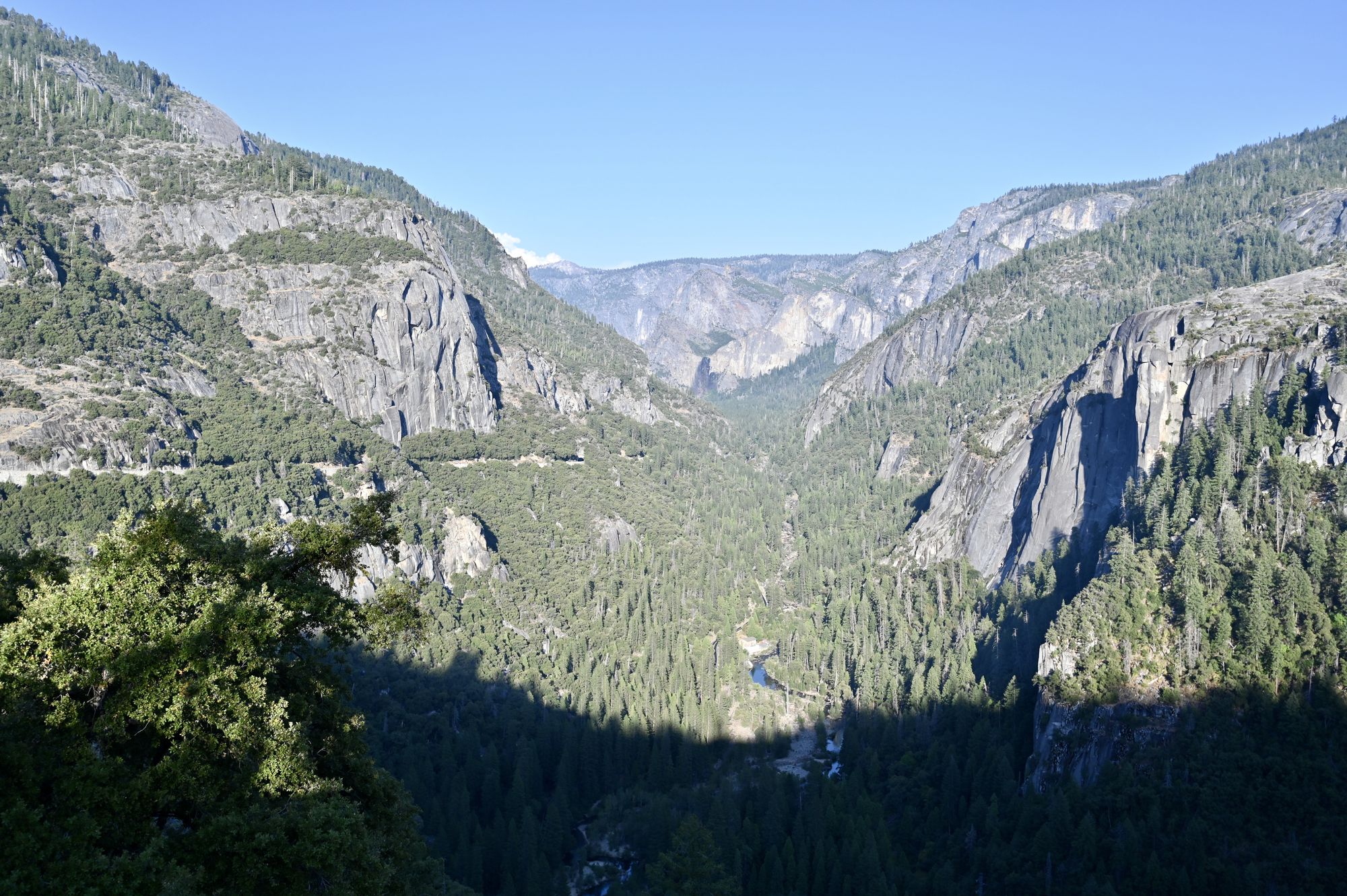
The view along Tioga Road.
- Stop at Tuolumne Meadows. Park along the side of the road across from the visitor center, and please walk only on marked trails in the meadow.
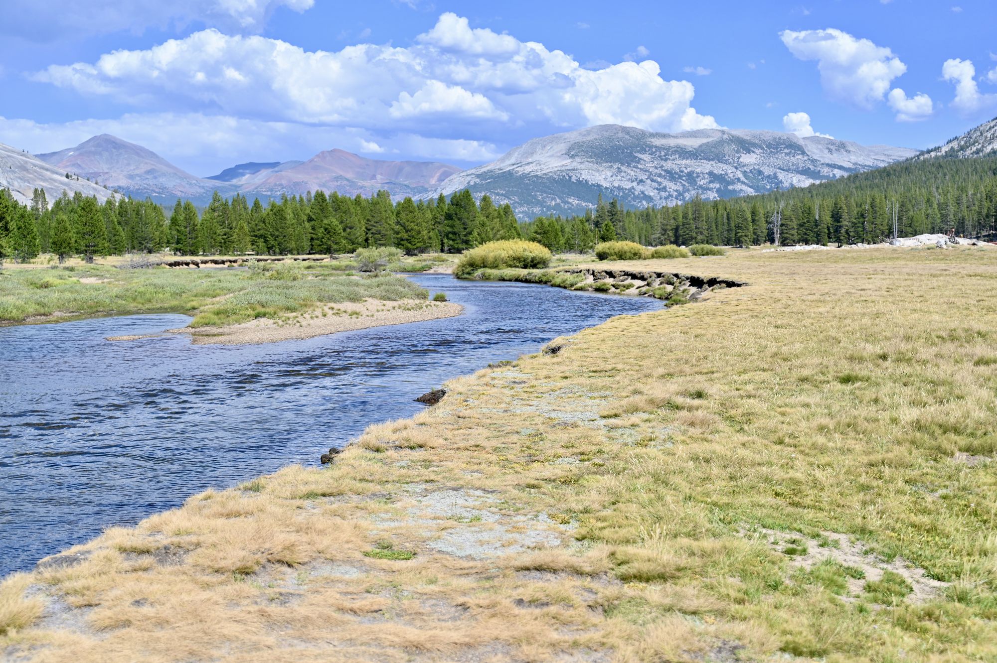
Tuolumne Meadows.
- Drive to Tenaya Lake. There are several places to stop along this gorgeous, chilly alpine lake, depending on whether you want hikes, scenery or a swim. We parked in the Tenaya Lake parking lot, which has restrooms and a short, flat trail straight to the sandy beach.
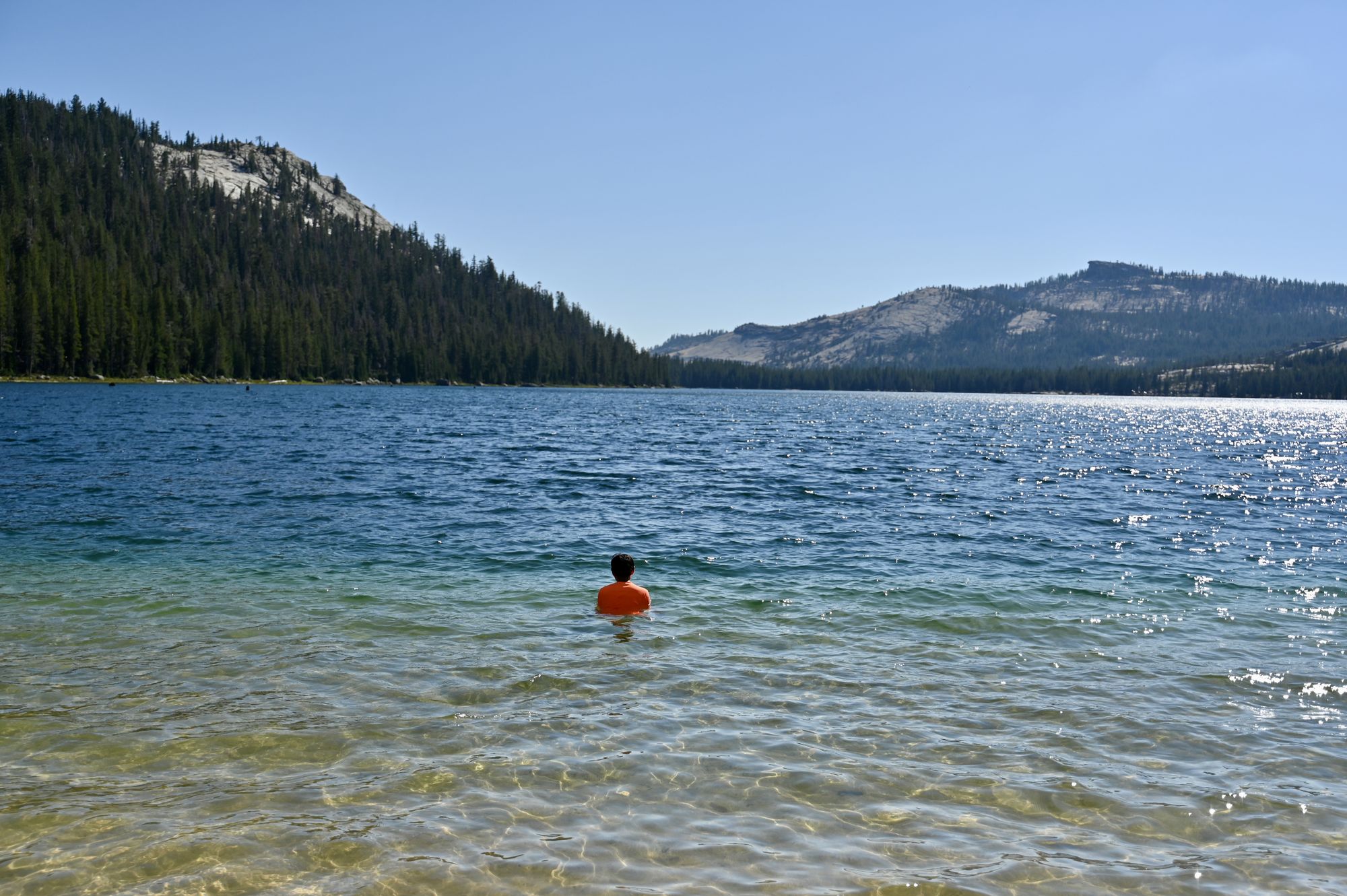
Taking a dip in Tenaya Lake.
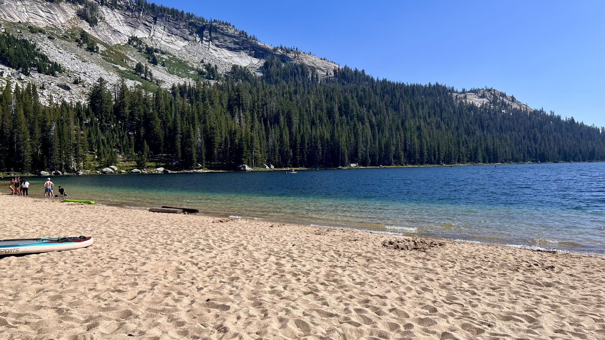
The sandy beach at Tenaya Lake.
- Enjoy a refreshing, chilly dip in the lake or lounge on the beach. It is a popular beach, with many families swimming, picnicking and relaxing in the shade.
- Drive to Olmsted Point. Enjoy walking on the rocks, the views of Half Dome and the surrounding area, and the pleasant weather. Parking is easy to find here.
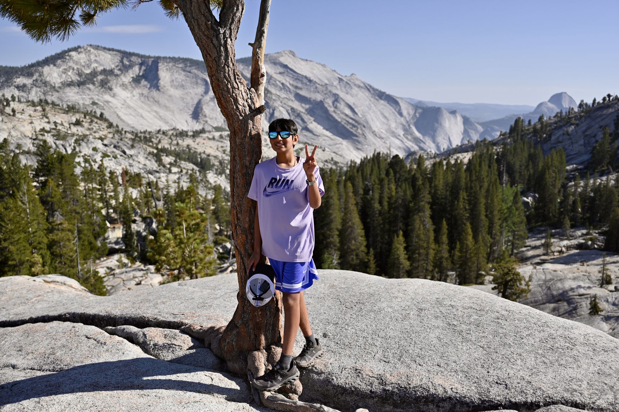
Olmsted Point.
- From here, exit the park and head to dinner or your accommodation.
Day 4 — Grant Grove, Kings Canyon
- Drive to Kings Canyon National Park.
- Option: Bharat Royal Cuisine in Fresno for lunch.
- Arrive at the John Muir Lodge in Kings Canyon around check-in time. After unloading the bags and a short rest, head out to explore the park.
- Ideally, go first to Big Stump Grove and hike the 2-mile trail around Big Stump Meadow. The parking lot is large and has restrooms.
- Go to General Grant Grove and stroll through the majestic sequoias. The old fallen tree and the meadows offer interesting perspectives on the trees.
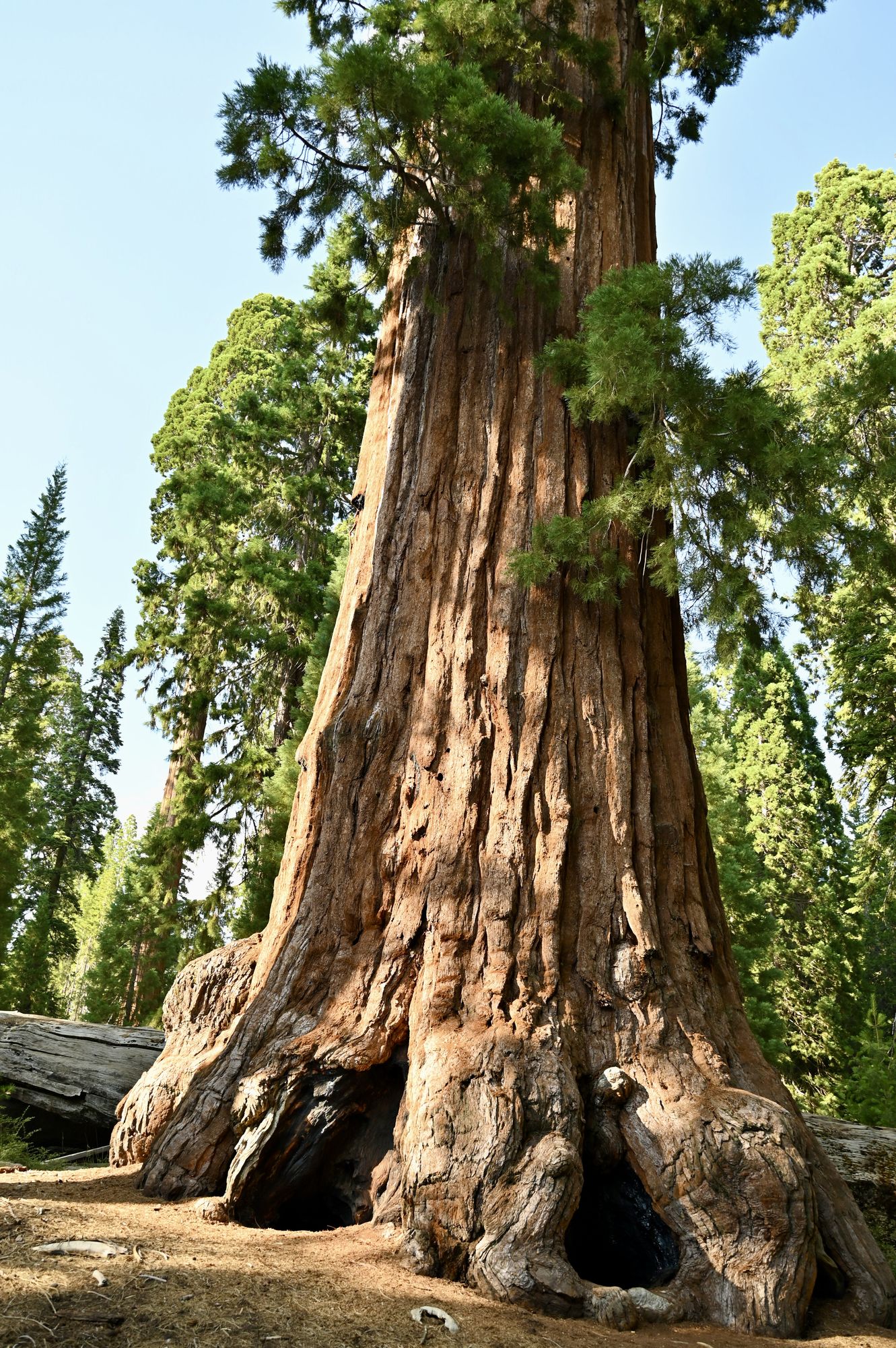
The General Grant tree.
- Next, drive to Panoramic Point, about 10 minutes from the lodge. Rangers lead walks here at sunset, which are educational as well as scenic. The views of the Kings Canyon Scenic Byway and the surrounding peaks are simply spectacular.
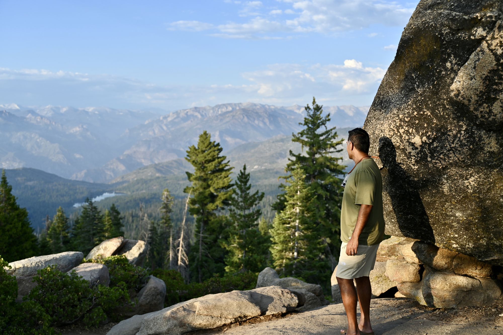
Panoramic Point.
- From here, head to the Big Stump Meadow trail if you haven’t done it already.
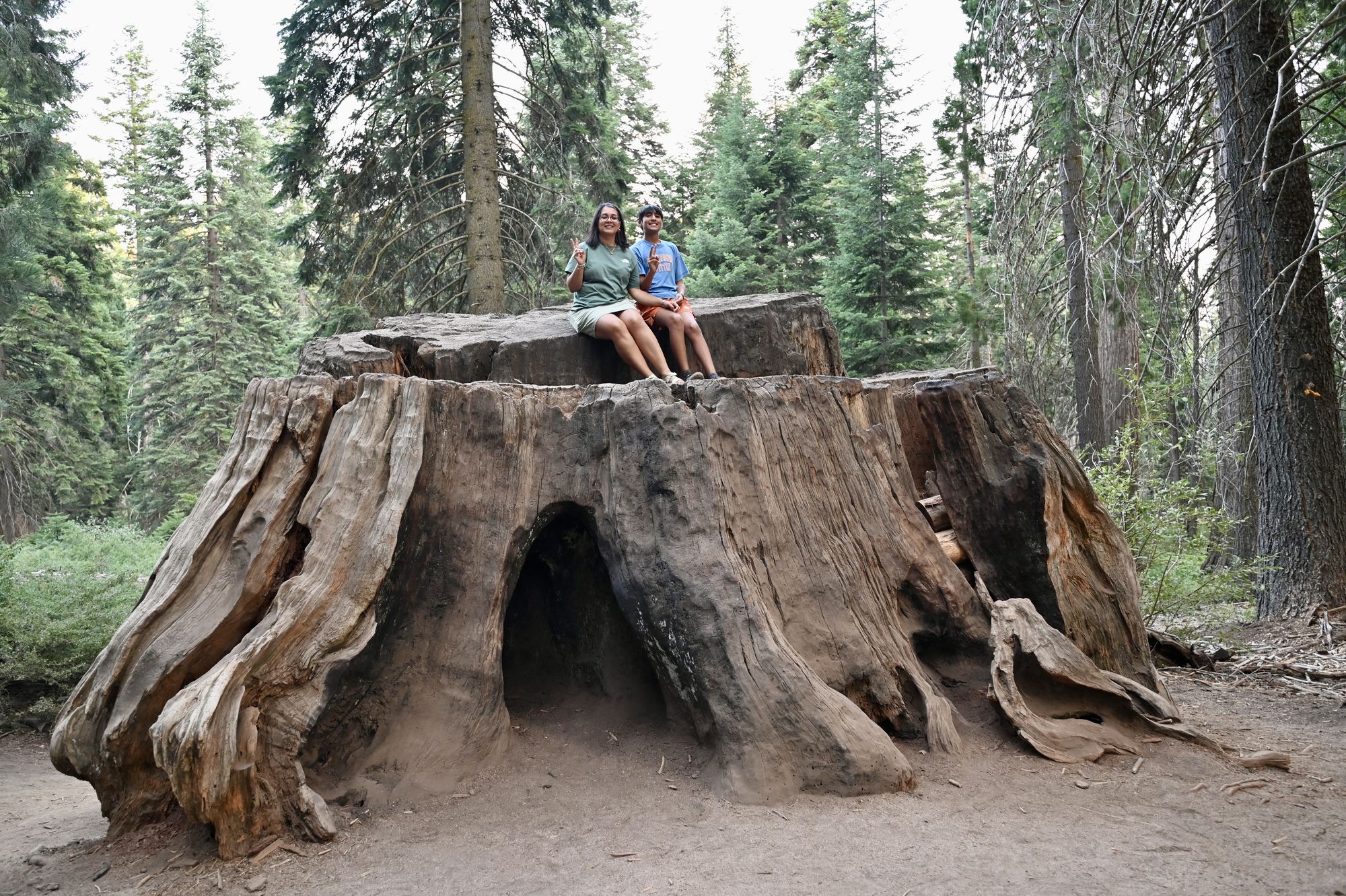
On the Big Stump trail.
- Then head back to the hotel.
- Tip: Pick up dinner in Fresno before you drive into the park (we did Taco Bell). The restaurant near the lodge wasn’t exciting, and the lodge has tables and a microwave.
Day 5 — Kings Canyon Scenic Byway
- Start the morning by driving the Kings Canyon Scenic Byway. The route leaves the national park for a few miles and then comes back into it.
- Stop at Junction View. This overlook looks into the canyon and down the road you are about to drive.
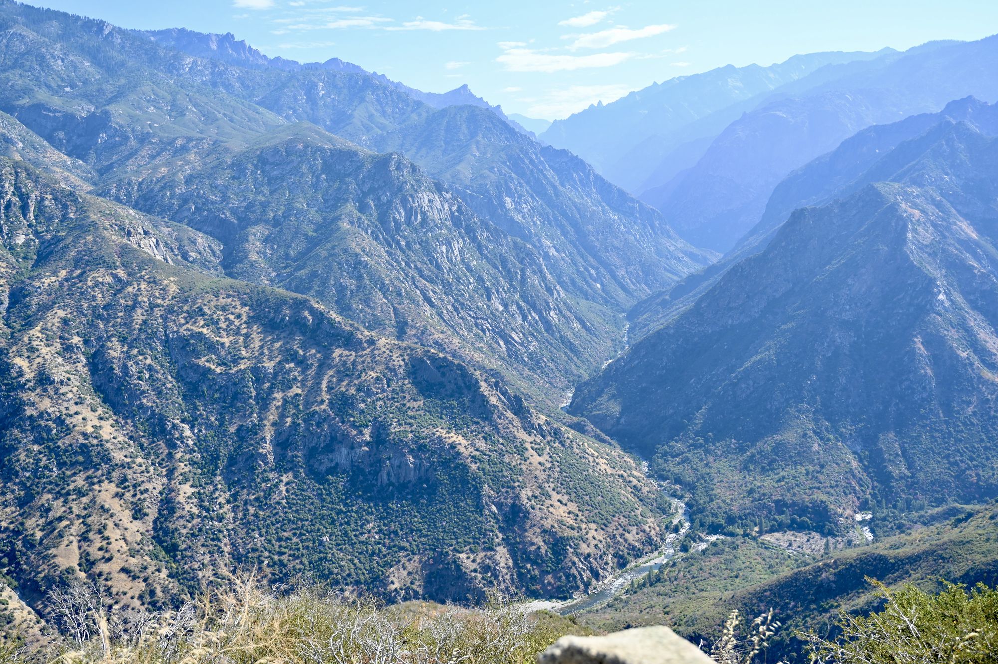
Junction View.
- Yucca Point is another stop along the drive with unique scenery. A trail from here drops more than a thousand feet to the river.
- We made a couple more stops wherever a pullout offered good views. One was marked as Horseshoe Bend on Google Maps.
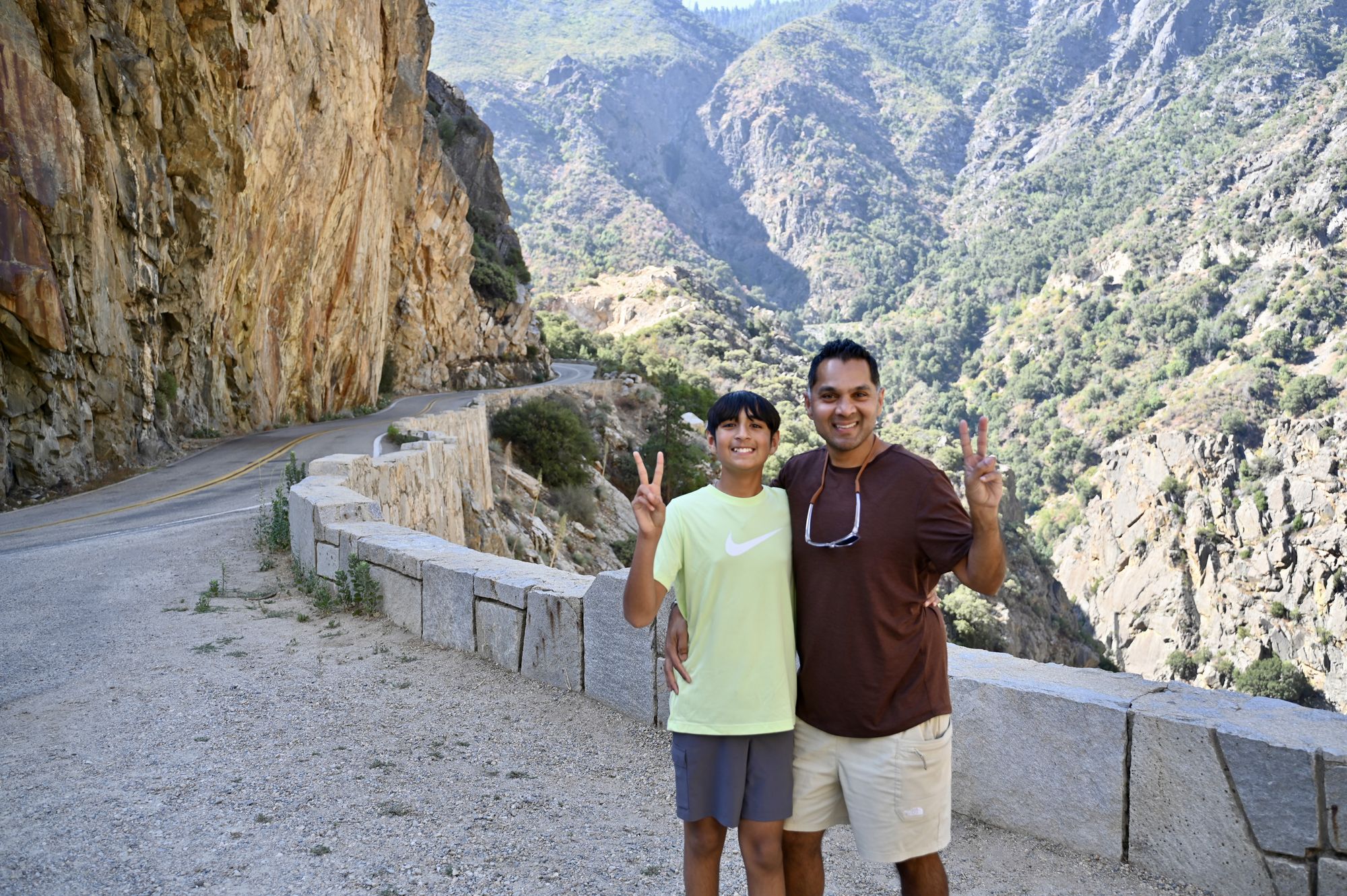
A pullout along the Kings Canyon Scenic Byway.
- From here, drive to Grizzly falls, a nice waterfall just off the road. There is parking and restrooms. You can climb the giant boulders under the waterfall for a better view, but take care.
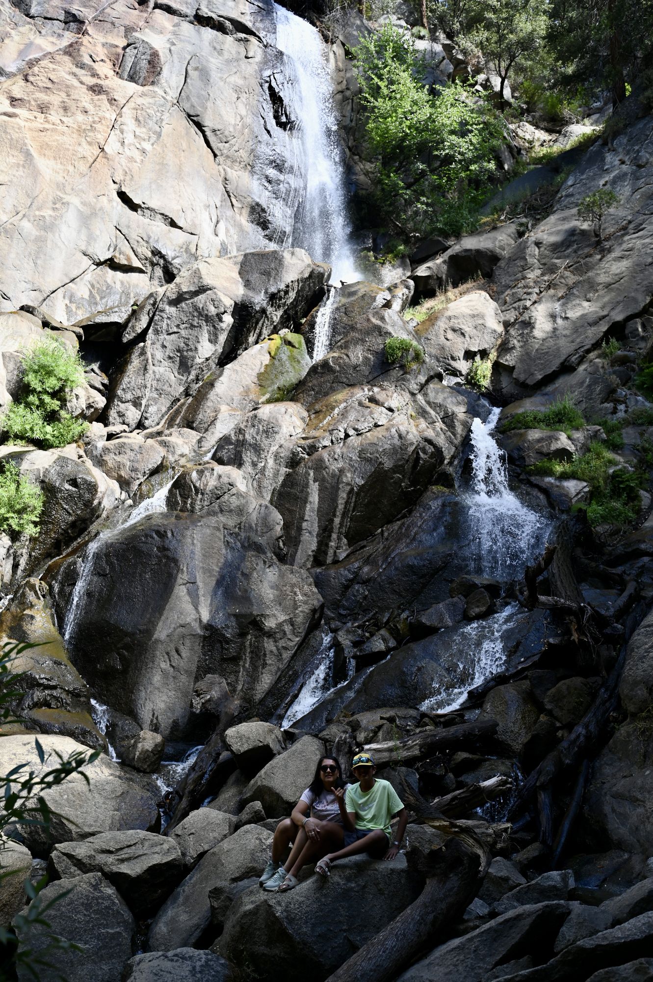
Grizzly falls.
- Next stop: Zumwalt Meadow. This was easily the best hike in Kings Canyon. It was cool and shaded, getting a little humid near the meadow. The trail follows the river, crosses a bridge and then leads to some big boulders. After a recent flood, the path right around the meadow is closed; the new route goes over large boulders to two viewpoints of the meadow. It is not treacherous — we saw lots of small kids and families on it. On the way back, we highly recommend stopping by the river to enjoy the scenery with a snack.
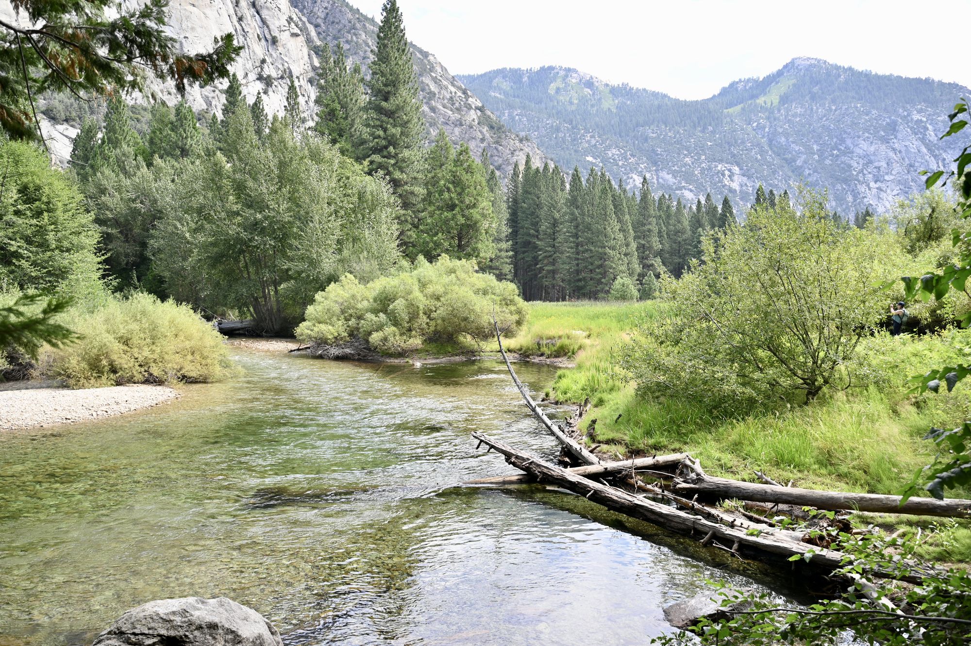
The river near Zumwalt Meadow.
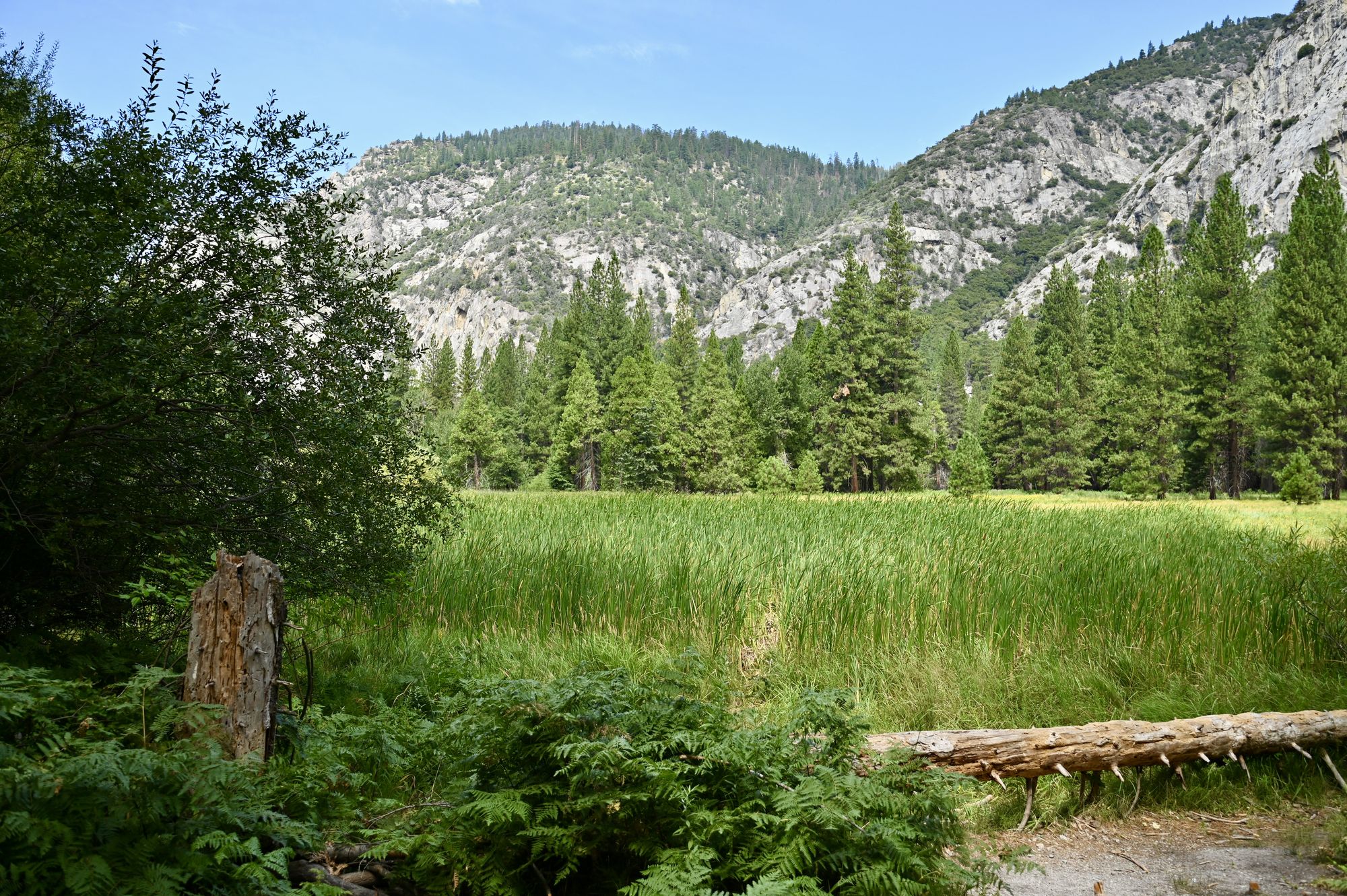
Zumwalt Meadow.
- For lunch, the Cedar Grove Grill by Cedar Grove Lodge is nearby, with burgers, sandwiches and a grocery store.
- Optional: Drive to Road’s End, where the road in this part of the park stops. Many popular backcountry hikes start here, and there is a ranger station for backcountry permits. Muir Rock is also in this area.
- Stop at Roaring River falls. There is a small parking lot at the trailhead, and waiting a few minutes usually gets you a spot. The water under the falls is open for swimming. The walk to the falls is a short paved path, but this felt like the busiest stop on the drive.
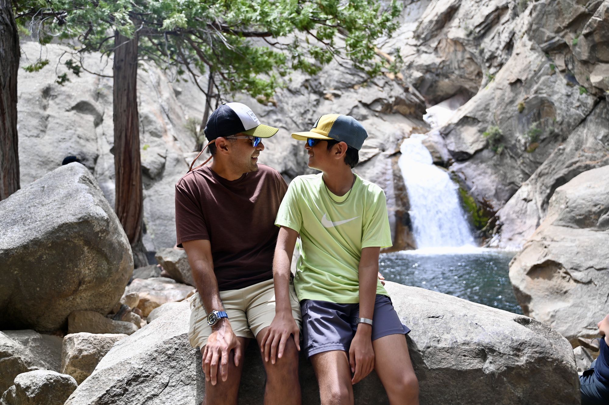
Roaring River falls.
- Drive the scenic byway back towards the park exit.
- Tip: If you need directions to your next stay, connect to the Wi-Fi at the visitor center — there is no phone signal anywhere else on this drive.
- Optional: Drive to Hume Lake. You can see the lake from the roadside or drive all the way down to it.
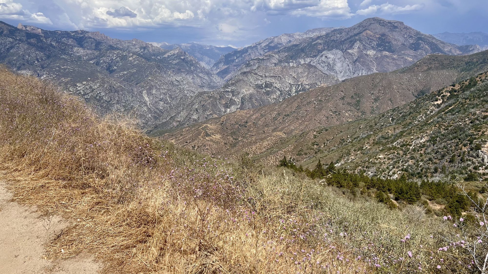
Near the Hume Lake pullout.
- Where we stayed: Three Rivers, California, which has several lodges and motels. There are also national park lodges inside Sequoia.
- For dinner, try Casa Mendoza Mexican Restaurant in Three Rivers. The staff is friendly, the food is fresh and the prices are reasonable.
Day 6 — Giant Forest, Sequoia
- Drive into Sequoia National Park and on to the Congress Trail parking area. There is a large lot and an overflow lot, but on a weekend they can fill up by 11 am.
- Walk the Congress Trail to the General Sherman Tree. The trail has many starting points depending on where you park, and can be anywhere from 1.1 miles to 7 miles if you combine it with the House and Senate trails. The trailhead is at high elevation and the General Sherman Tree is about 200 ft lower; that small climb back feels incredibly steep at this altitude. Thankfully the whole trail is shaded, with plenty of places to rest. The giant sequoias along it are an incredible sight — their sheer size is hard to imagine.
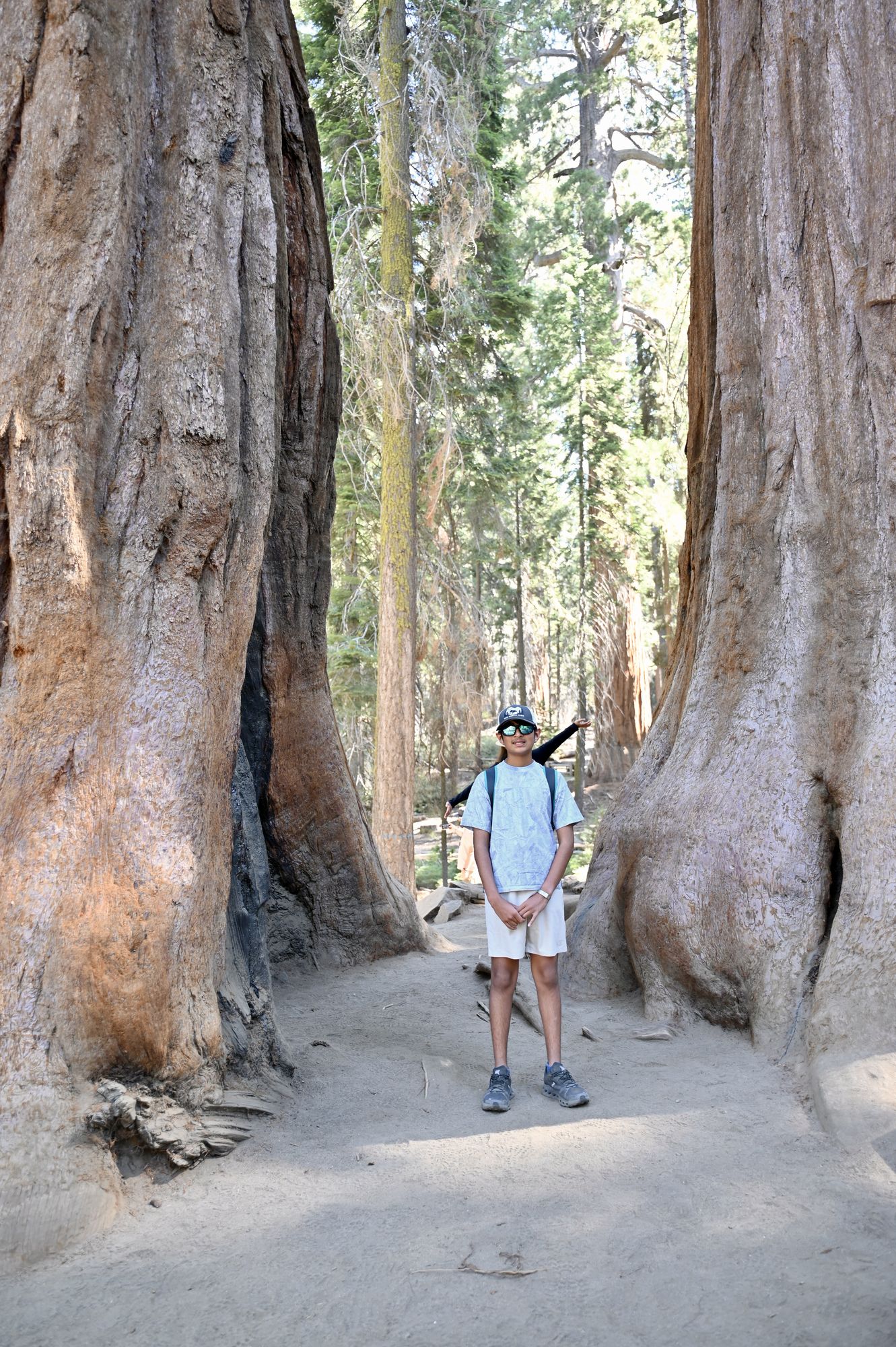
Between two giants on the General Sherman trail.
- Tip: On weekends you can park once and ride the park shuttle. The shuttle does not stop everywhere, and waiting for it adds time to getting around and back to the car. In summer, Moro Rock and Crescent Meadow can only be reached by shuttle on weekends. The Giant Forest Museum parking lot is closest to this shuttle.
- Drive to the trailhead for the Hazelwood Nature Trail, which has a small pullout for parking beside the road. It is off the beaten path, but it gets you closer to the giant sequoias. Several old fallen trees give a sense of scale, and there is a gorgeous meadow full of yellow wildflowers. It is much quieter than the General Sherman trail.
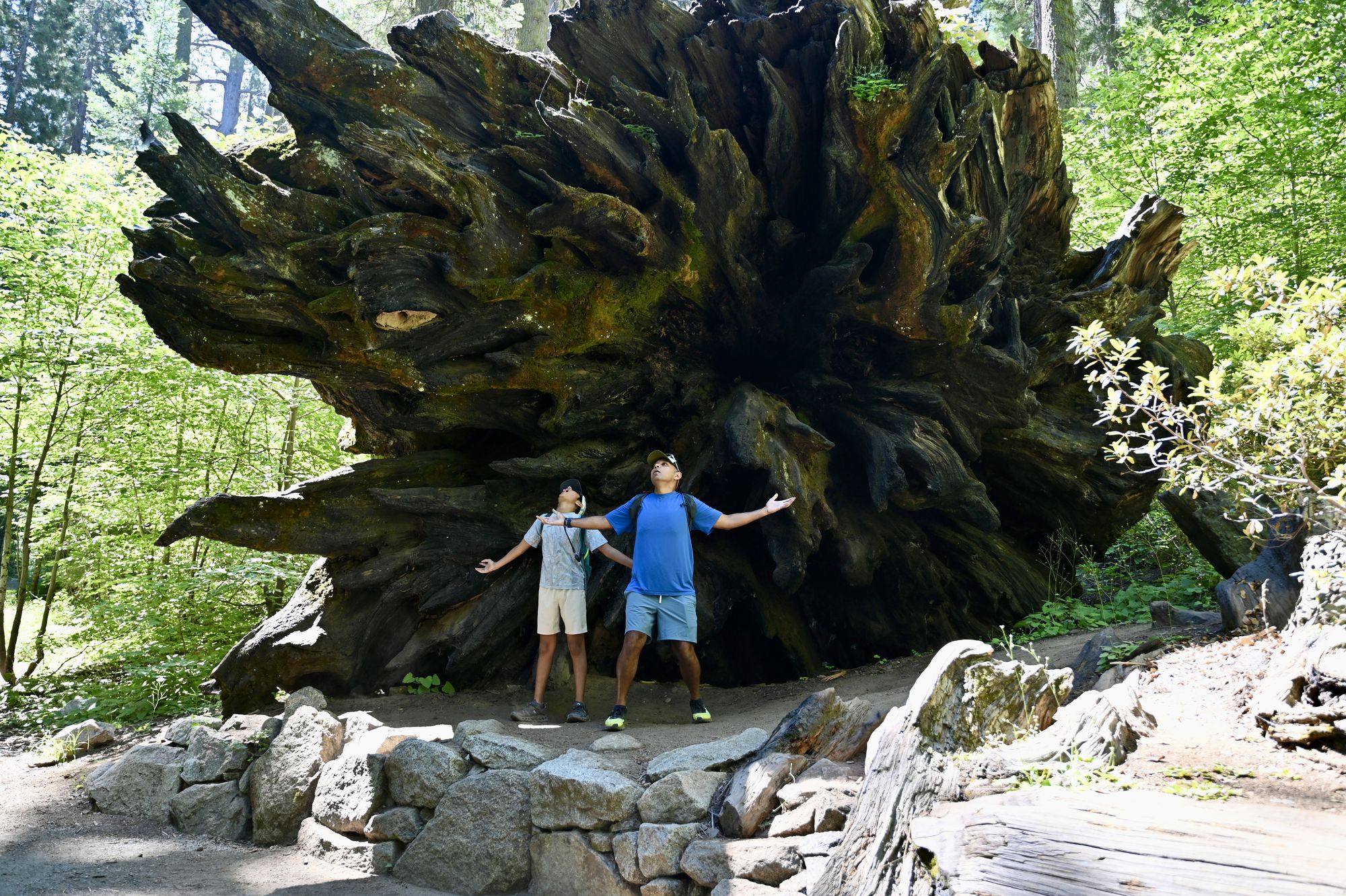
A fallen giant sequoia on the Hazelwood Nature Trail.
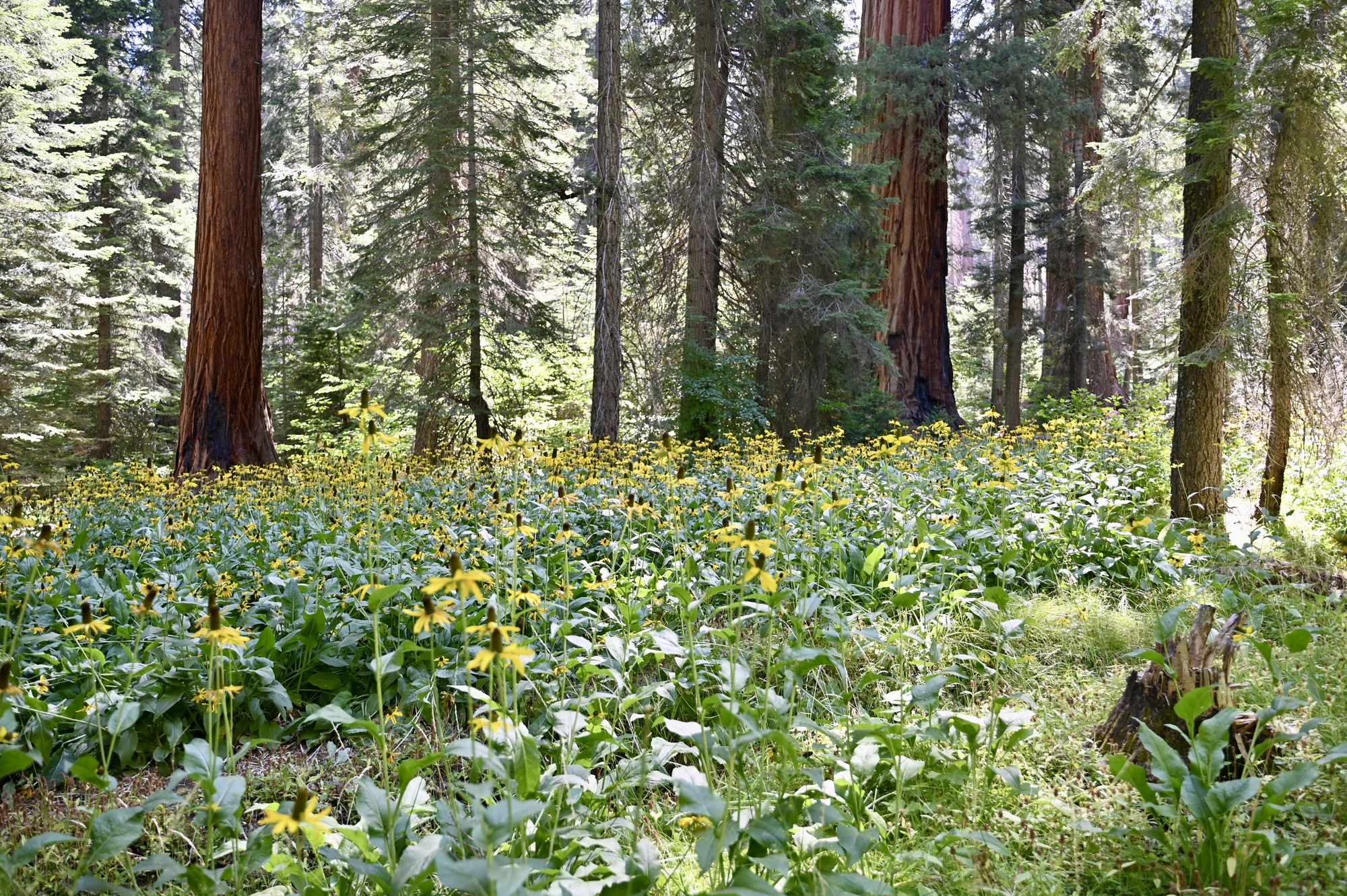
The meadow on the Hazelwood Nature Trail.
- Drive to the Lodgepole Market & Grill for burgers and ice cream. The visitor center there has an interesting perspective on the sequoias.
- Park at the Giant Forest Museum parking lot.
- Visit Beetle Rock for a great view of the surrounding area.
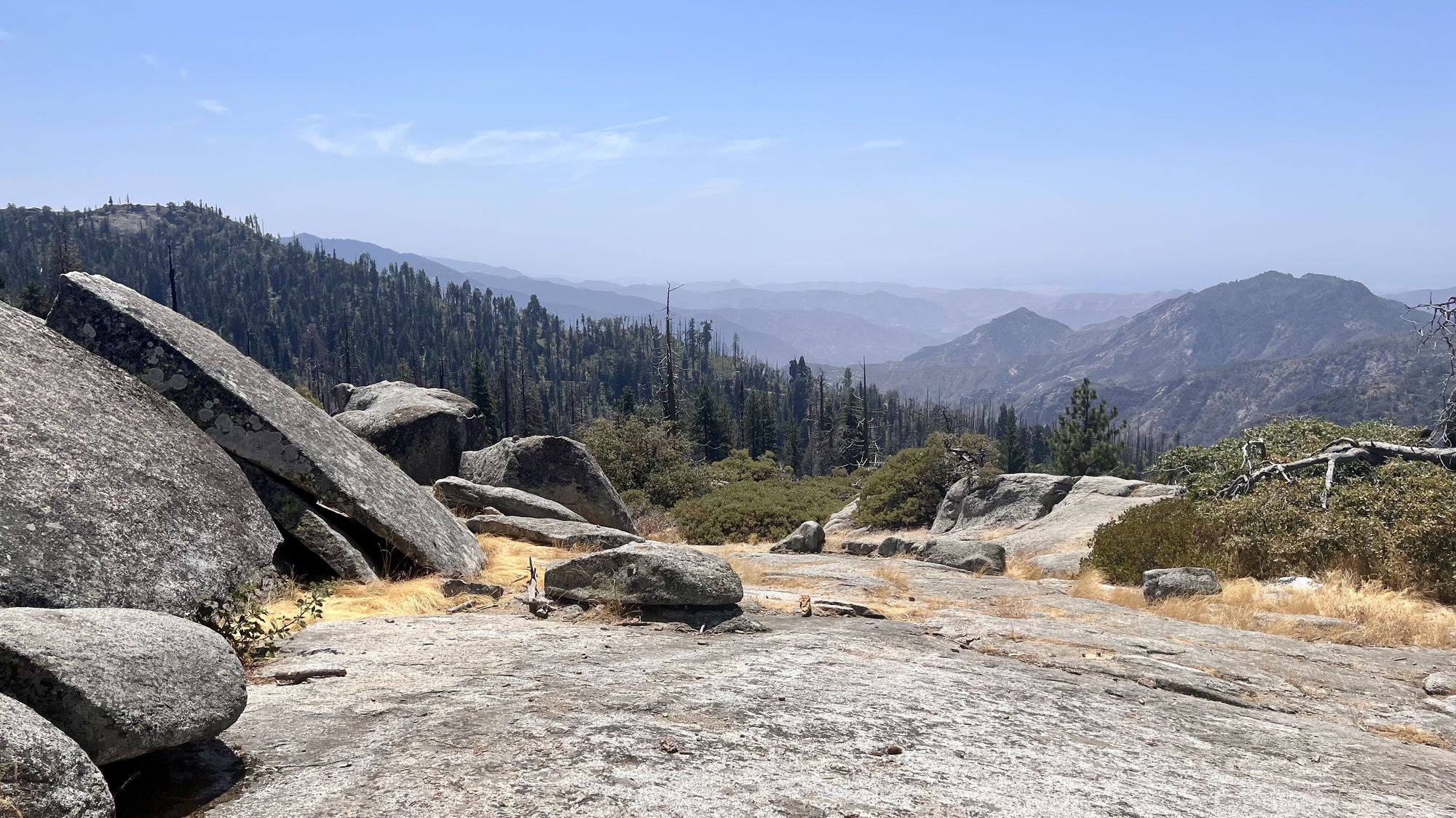
Beetle Rock.
- Visit the Giant Forest Museum. Rangers lead walks from the museum a few times a day.
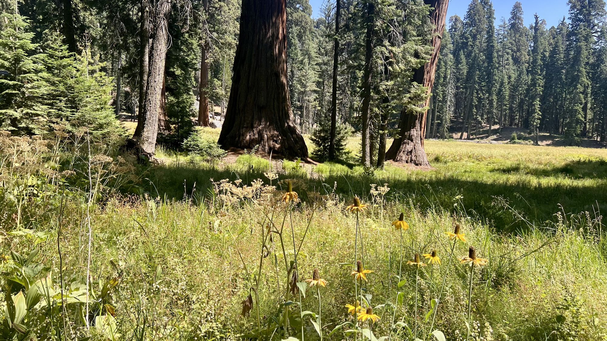
On the Giant Forest Museum trail, during the ranger-led walk.
- Take the shuttle to Moro Rock (or Crescent Meadow, or both if time permits).
- Hike up the 350 or so steps to the top of Moro Rock.
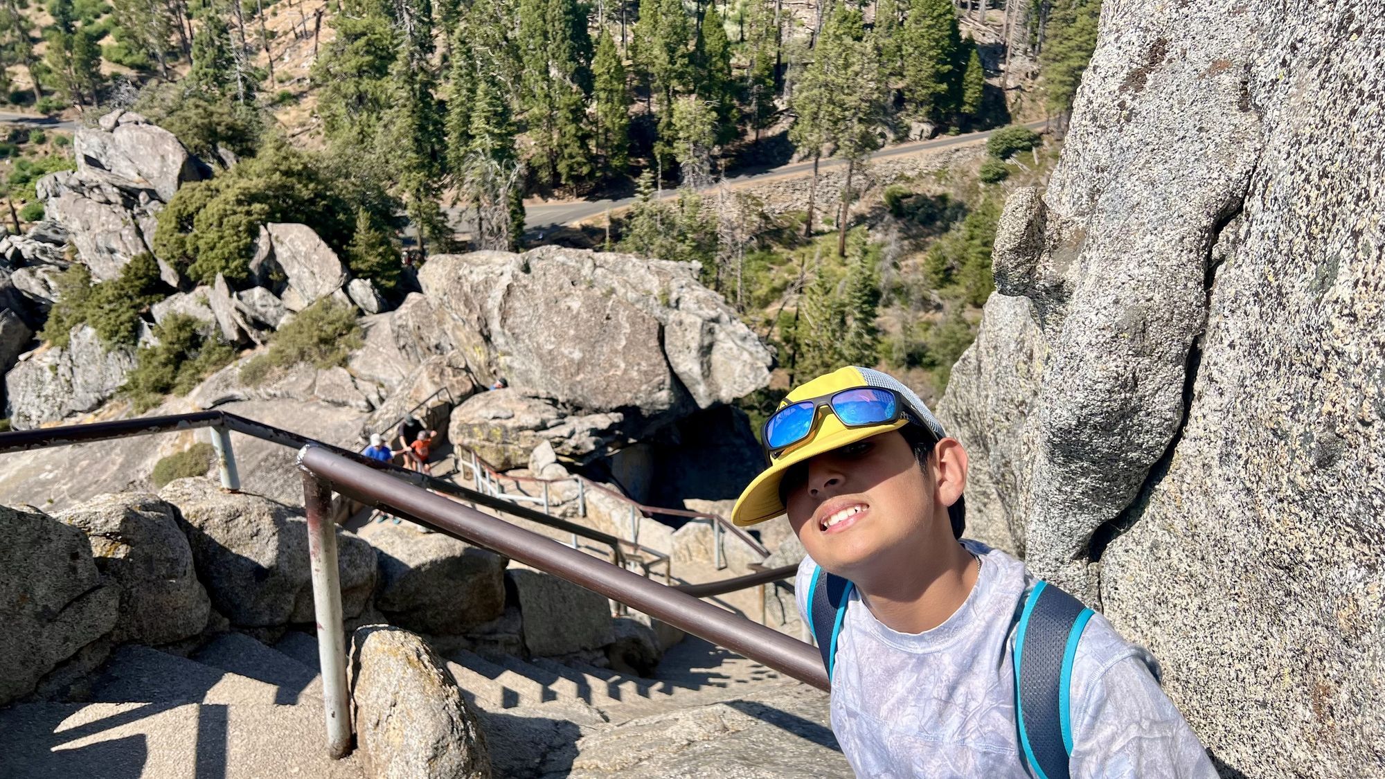
Climbing Moro Rock.
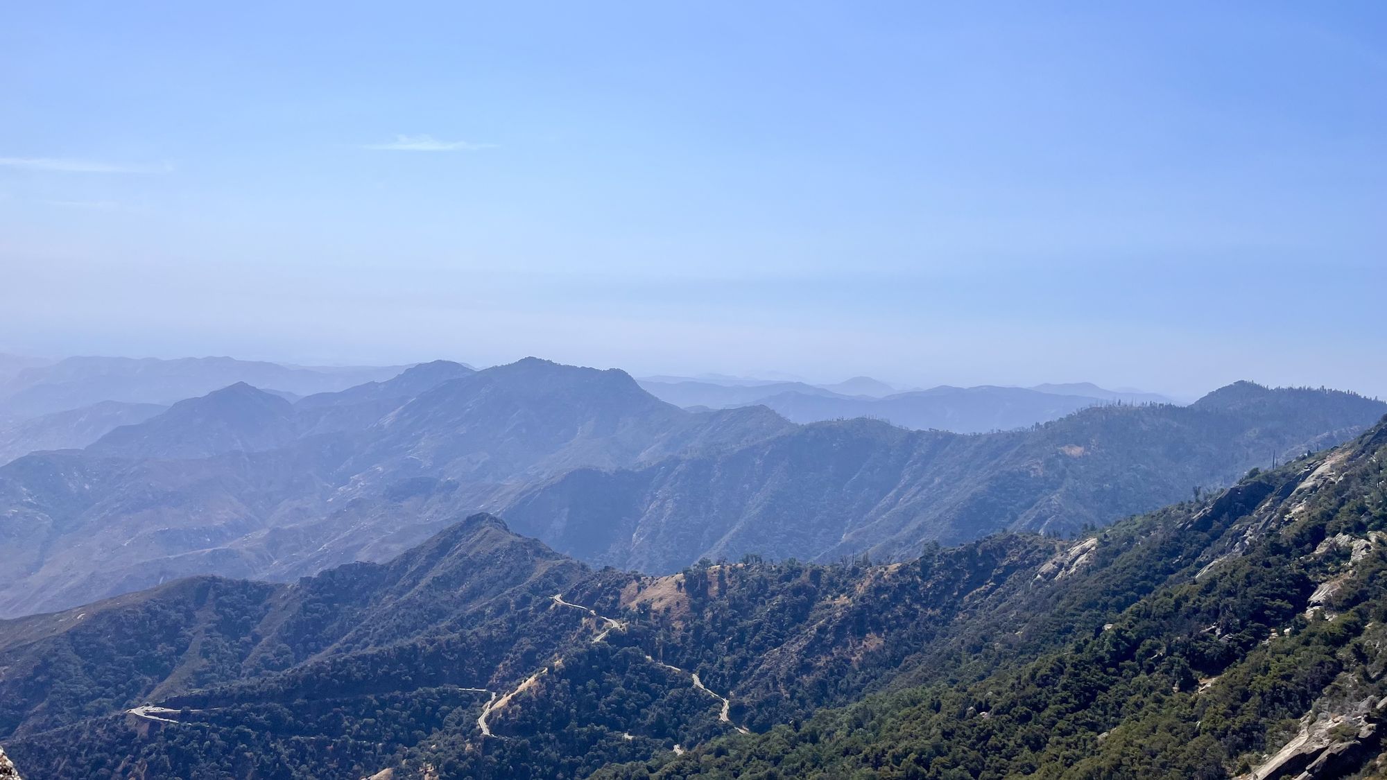
The view from the Moro Rock trail.
- Take the shuttle back to the parking area and drive back to the hotel.
- Dinner in Three Rivers.
Day 7 — Monterey
- Drive towards Monterey, California.
- Have a quick lunch along the way.
- Get to the Monterey Bay Aquarium.
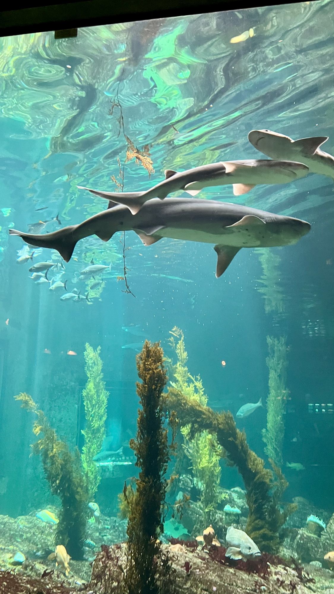
Sharks at the Monterey Bay Aquarium.
- Explore the aquarium and learn about the amazing ecosystem just offshore. Tickets can be bought at the aquarium or online before your visit.
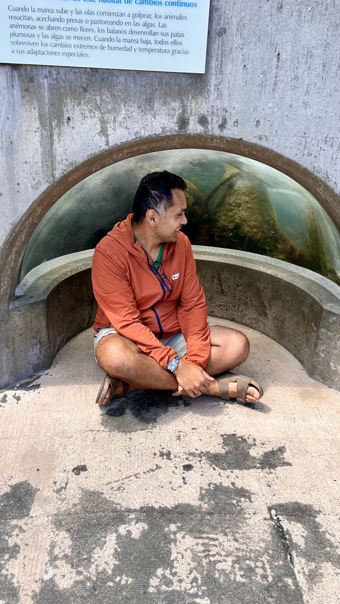
At the aquarium.
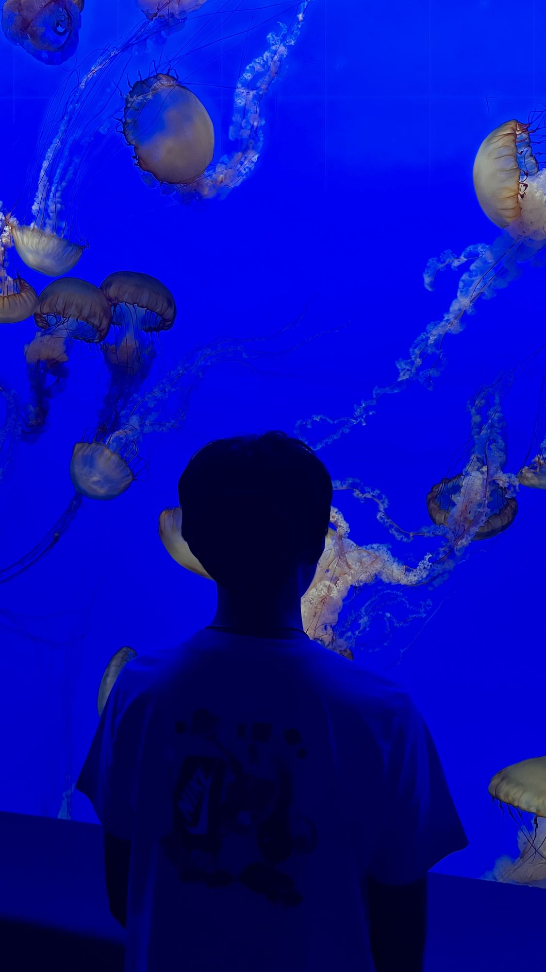
Jellyfish at the Monterey Bay Aquarium.
- Drive to Point Lobos State Natural Reserve. There is a $10 entry fee, and it closes by 7 pm in summer. Parking is in small lots throughout the reserve, and may not be at the exact trailhead you want. Keep your plans flexible — almost every coastal walk here is amazing, and you could easily spend a whole day.
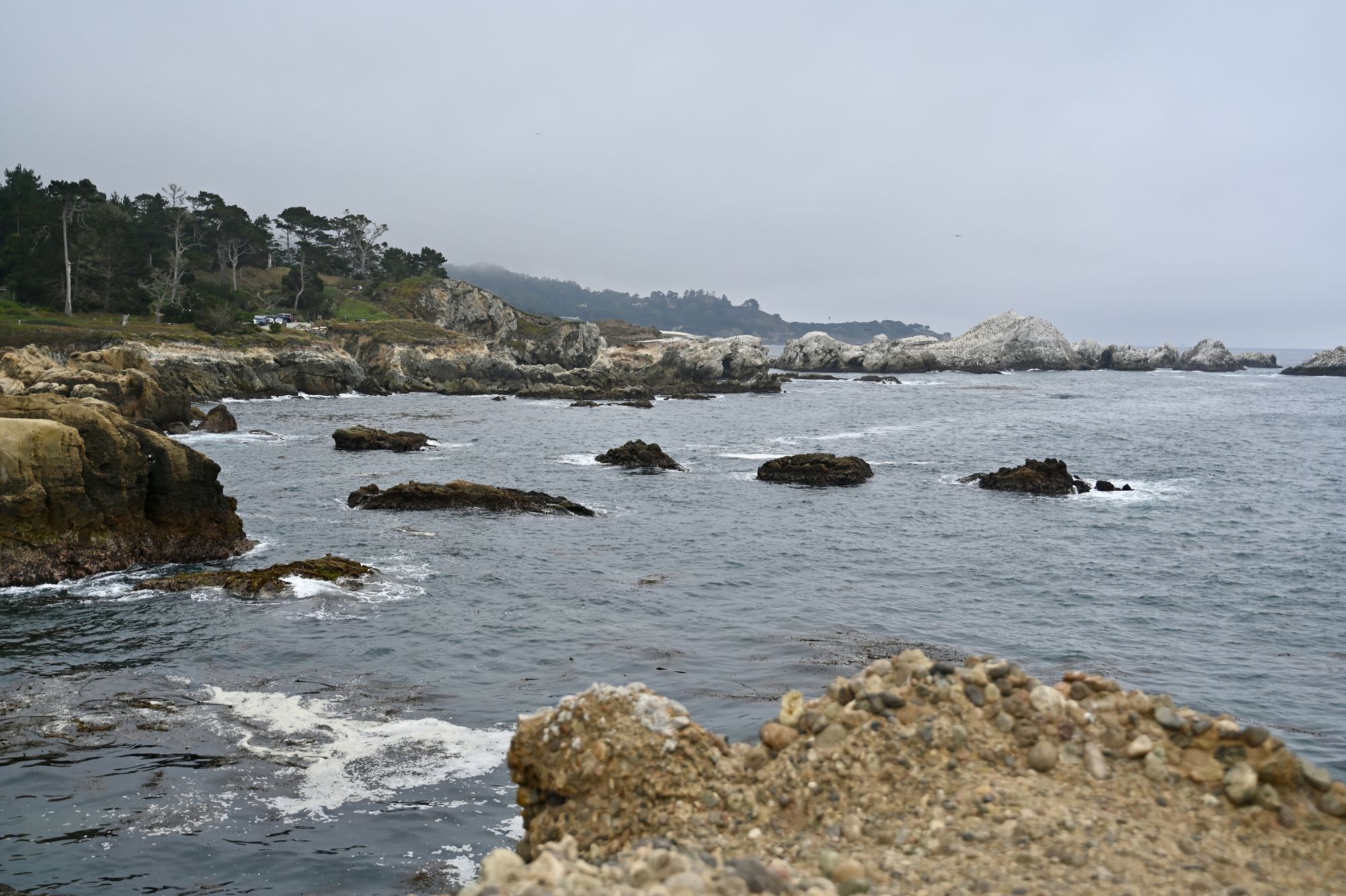
Point Lobos.
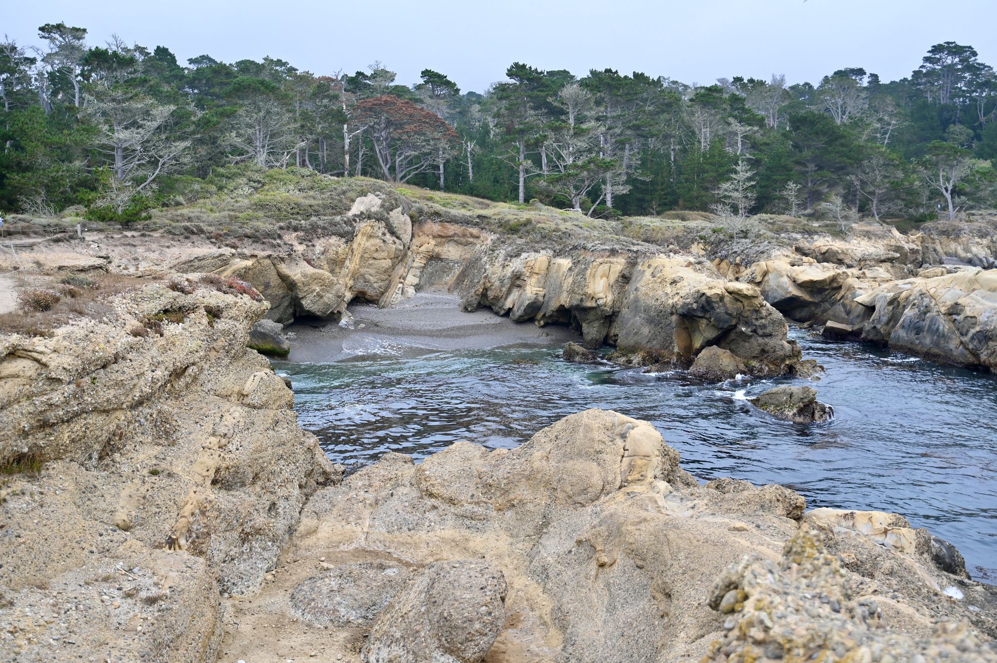
One of the coves at Point Lobos.
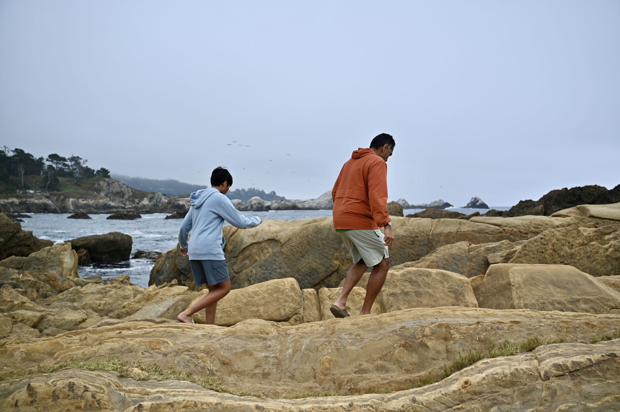
Walking on the rocks at Point Lobos.
- Dinner at Zab Zab Thai in Monterey. It has a wide range of vegan and vegetarian options and its own small parking lot in the back. The food was great, in both taste and quality.
- Check in to the Portola Hotel in downtown Monterey. Valet parking is $35.
Day 8 — Pacific Grove and home
- Leave Monterey.
- Drive Ocean View Boulevard. Park anywhere near Lovers Point or Pacific Grove Marine Gardens Park and walk the Monterey Bay Coastal Trail. You’ll find small coves, beaches, wildlife-viewing spots and amazing ocean views along the way.
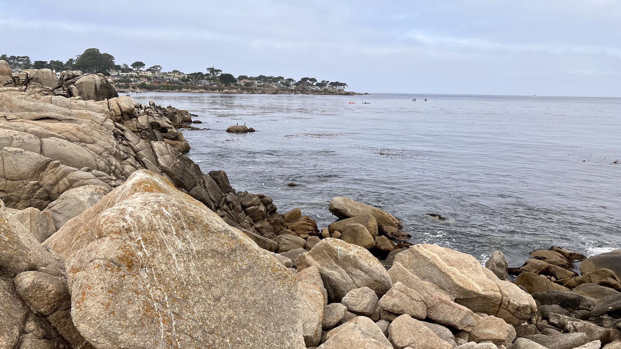
The rocky shore along Ocean View Boulevard.
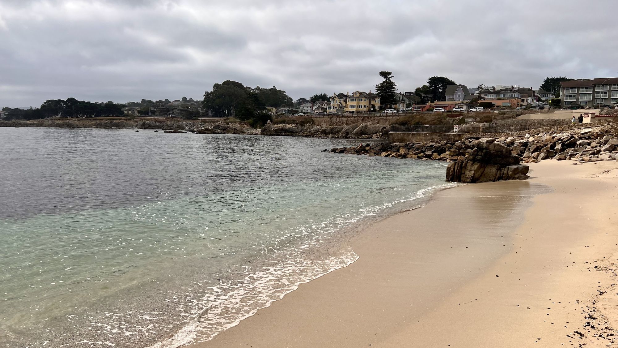
A small beach along Ocean View Boulevard.
- Drive to Momo and Curry in Millbrae, near the airport. The food is satisfying and delicious.
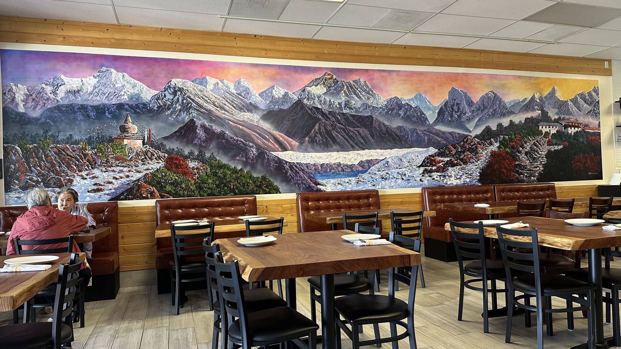
The mural at Momo and Curry.
- Drive to the rental car return area.
- Tip: There is a Costco gas station near the Fox Rent A Car location by the airport if you want a good price on gas before returning the car.
- Make your way to the airport.